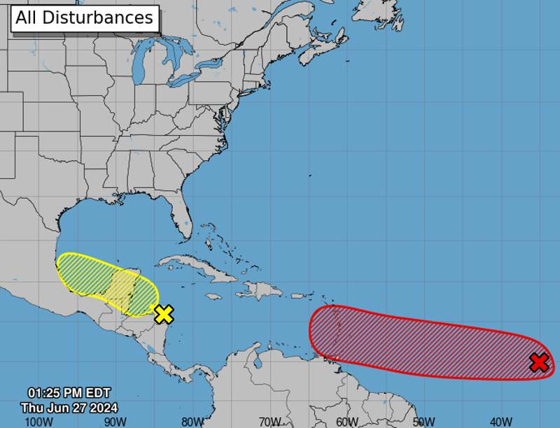
MIAMI, Florida – NOAA‘s National Hurricane Center in Miami, Florida, issued a Tropical Weather Outlook at 2 p.m. Eastern Daylight Time on Thursday, June 27, 2024, due to the presence of a system that may form into a tropical cyclone within the next 7 days.
The system, dubbed Invest 95L, is a tropical wave located several hundred miles west-southwest of the Cabo Verde Islands that has become better organized since yesterday with a more concentrated area of thunderstorms (marked with a red “X”).
NHC forecasters say that environmental conditions are forecast to be unusually conducive for late June across the central and western tropical Atlantic, and further development of Invest 95L is anticipated.
A tropical depression or tropical storm could form this weekend several hundred miles east of the Windward Islands while the system moves westward at 15 to 20 mph.
Interests in the Lesser Antilles should monitor the progress of this system.
This system has an 80% chance of tropical cyclone formation within the next 7 days and a 60% chance within the next 48 hours.
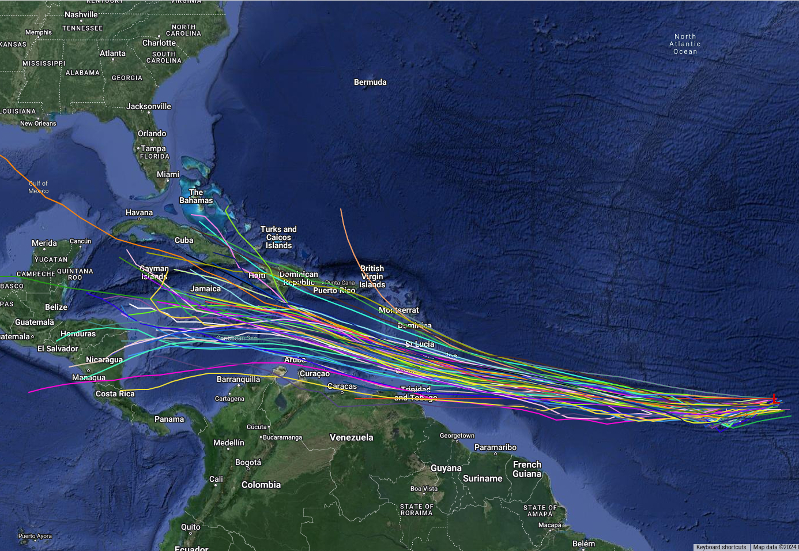
Spaghetti models are in general agreement that Invest 95L will move west, then west-northwestward towards the Windward Islands.
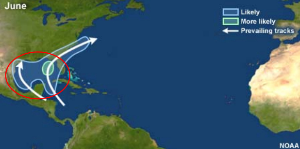
| NOAA Prevailing Atlantic Hurricane Tracks June |
If this system develops into a tropical storm or hurricane, the next name on the 2024 Atlantic Hurricane List is Beryl.
NOAA and Colorado State University forecast an ‘extremely active’ 2024 Atlantic Hurricane Season, which runs from June 1 through November 30.
RELATED:
Copyright 2023-2025 FloridaWord.com