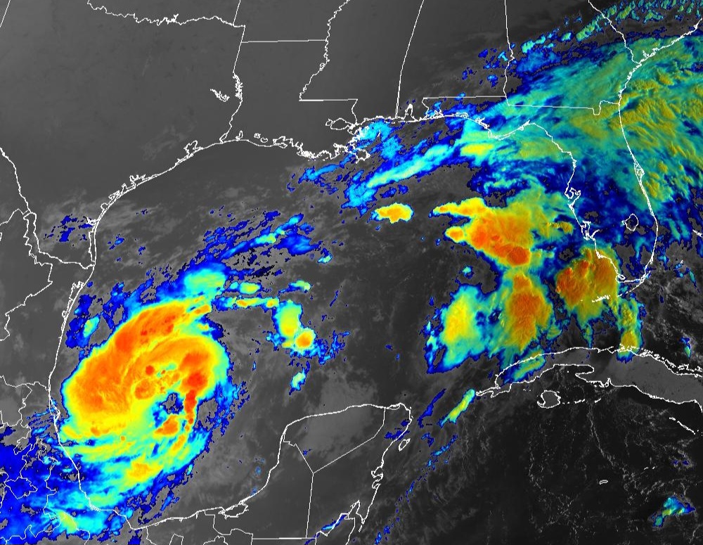
TAMPA, Florida – NOAA‘s National Hurricane Center in Miami, Florida, issued a Public Advisory at 11 a.m. Eastern Daylight Time on Sunday, October 6, 2024, due to the presence of Tropical Storm Milton over the Gulf of Mexico that is forecast to strengthen into Category 3 Hurricane Milton before making landfall on the west coast of Florida.
Tropical Storm Milton (formerly Invest 92L and Tropical Depression 14) is located about 835 miles west-southwest of Tampa, Florida, and is moving to the east-southeast at 6 mph (9 km/h).
NHC forecasters say that this general motion is expected today. An eastward to east-northeastward motion is forecast on Tuesday and during the next couple of days, followed by a faster northeastward motion on Wednesday.
On the official NHC forecast track, Milton is projected to move north of the Yucatan Peninsula and to move across the Gulf of Mexico and approach the west coast of the Florida Peninsula by midweek.
The new NHC forecast is adjusted south of the previous one, especially early on, and further southward adjustments could be required if the guidance trend continues.
Computer models, often referred to as spaghetti models, are in good agreement during the first 48 hours that Tropical Storm Milton will move in a general eastward direction, then east-northeastward direction toward the Florida peninsula. Both the GFS (American model) and the ECMWF (European model) show a similar track.
However, there remains some spread in both the track and forward speed, so it is too early to specify which portions of the Florida Peninsula will get the worst impacts.
Tropical Storm Milton has maximum sustained winds of 65 mph (100 km/h), with higher gusts.
Rapid strengthening is forecast during the next few days. Milton is forecast to become a hurricane later today and could strengthen into a major Category 3 hurricane on the Saffir-Simpson Hurricane Wind Scale on Monday while it moves across the central and eastern Gulf of Mexico.
Tropical-storm-force winds extend outward up to 60 miles (95 km) from the center of the tropical cyclone.
NOAA and Colorado State University forecast an “extremely active” 2024 Atlantic Hurricane Season, which runs from June 1 through November 30.
| NOAA historical hurricane data. Peak season and storm frequency. |
Peak hurricane season is September 10, according to NOAA and the National Weather Service‘s historical hurricane activity data.
Copyright 2023-2025 FloridaWord.com


