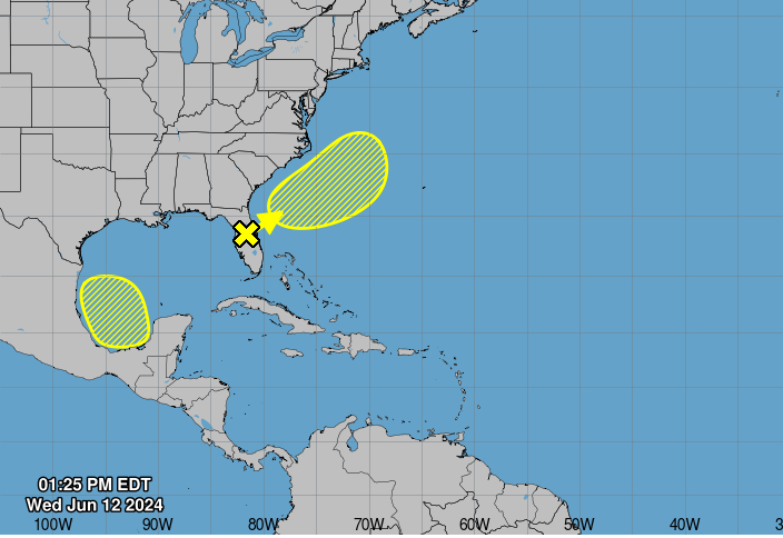
MIAMI, Florida – NOAA‘s National Hurricane Center in Miami, Florida, has issued a Tropical Weather Outlook at 2 p.m. Eastern Daylight Time on Wednesday, June 12, 2024, due to the presence of two systems that may form into tropical cyclones within the next 7 days.
The first system, dubbed Invest 90L, is an elongated area of low pressure over the that is producing a large area of disorganized showers and thunderstorms (marked with a yellow “X”).
This system is expected to move northeastward across Florida today and offshore of the U.S. Southeast coast by tonight.
NHC forecasters say that environmental conditions are expected to be generally unfavorable, although some slow development is possible when Invest 90L is offshore of the U.S. Southeast coast later this week.
Regardless of development, heavy rainfall is expected to continue across portions of Florida during the next few days.
Invest 90L has a 20% chance of tropical cyclone formation within the next 7 days and a 10% chance within the next 48 hours.
The second system is a broad area of low pressure that could form over the weekend across the southwestern Gulf of Mexico.
NHC forecasters say that environmental conditions appear to be conducive to some slow development early next week while the system moves slowly westward or west-northwestward.
The second system has a 30% chance of tropical cyclone formation within the next 7 days and a 0% chance within the next 48 hours.
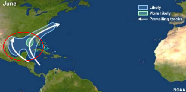
| NOAA Prevailing Atlantic Hurricane Tracks June |
If either of these systems develop into a tropical storm or hurricane, the next name on the 2024 Atlantic Hurricane List is Alberto.
NOAA and Colorado State University forecast an “extremely active” 2024 Atlantic Hurricane Season, which runs from June 1 through November 30.
Copyright 2023-2025 FloridaWord.com