National Weather Service Storm Prediction Center Severe Weather Outlook for Florida for Thursday, June 18, 2026.
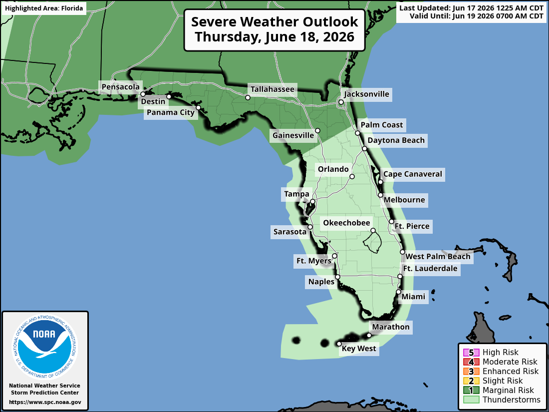
TALLAHASSEE, Florida – The National Weather Service has issued a Flood Watch for Thursday and Friday across southeast Alabama’s Wiregrass region, southwest Georgia, and the Florida Panhandle. The Storm Prediction Center has also placed the area under a Marginal Risk (Level 1 of 5) of strong to severe thunderstorms on Thursday associated with Tropical Storm Arthur.
According to the National Weather Service Tallahassee, the Flood Watch is in effect from Thursday morning through Friday night. Very heavy rain is expected, with most areas receiving 2–5 inches and isolated high-end totals of 5–10 inches possible. Dangerous and life-threatening flash flooding is possible where the heaviest rain falls.
On Thursday, a Marginal Risk (Level 1 of 5) of severe weather is in place. The primary hazards include isolated damaging wind gusts up to 60 mph, a few tornadoes possible, heavy rainfall, and frequent dangerous lightning. A brief tornado or hail cannot be completely ruled out, but the overall severe threat remains relatively low.
The main hazards with any stronger storms are isolated damaging wind gusts up to 60 mph, heavy rainfall capable of producing flash flooding, and frequent dangerous lightning.
Significant rainfall is expected over the two-day period, with 2–5 inches common and locally higher amounts possible. There is a moderate risk of excessive rainfall in some areas, which may lead to isolated flash flooding and ponding on roadways.
Cities at risk for thunderstorms, heavy rain, and possible strong to severe weather include:
Copyright 2023-2025 FloridaWord.com


