National Weather Service Miami Rain Chances map for South Florida on October 8, 2026
MIAMI, Florida – The National Weather Service in Miami forecasts scattered to numerous showers and thunderstorms across South Florida on Thursday, October 8, 2026, with the highest chances along and north of Alligator Alley as well as portions of the east coast metro areas this afternoon.
Rain probabilities are highest from West Palm Beach northward and across interior areas, reaching 84% in West Palm Beach, 77% near Palmdale, 76% in Immokalee, and 74% in Clewiston.
Chances drop farther south, to 66% in Fort Lauderdale, 54% in Miami, 39% in Homestead, and 33% in Flamingo.
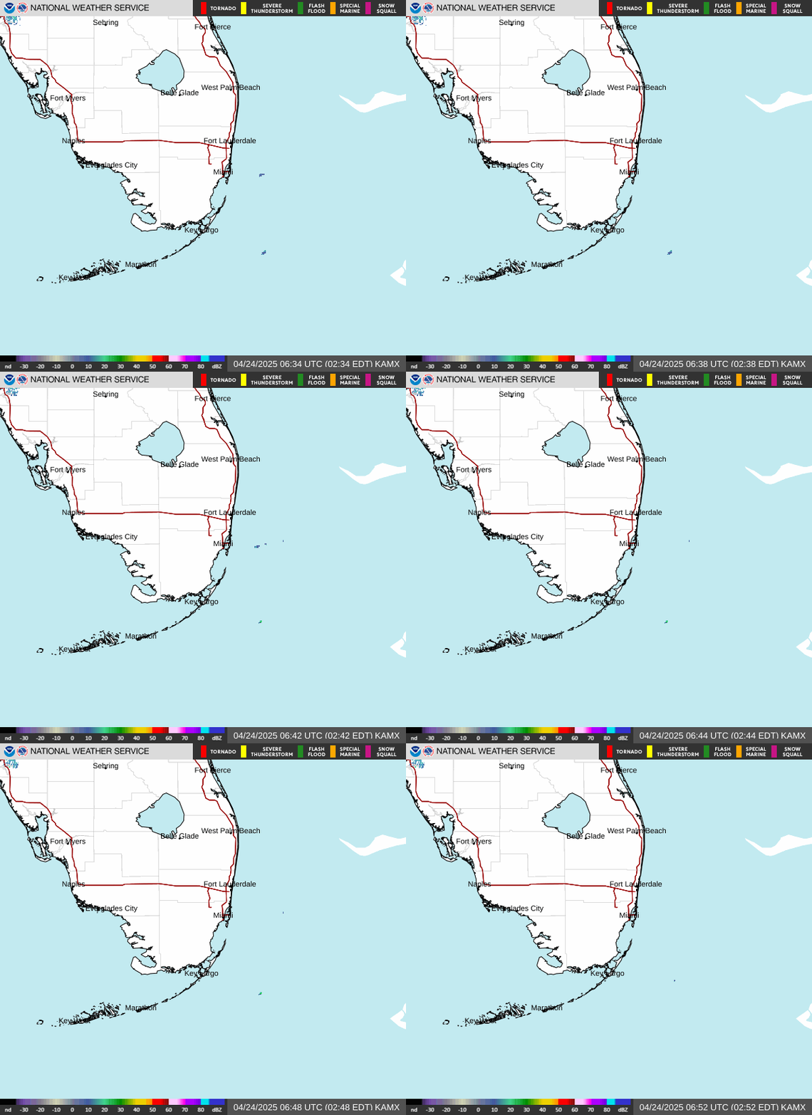
NWS Miami South Florida Doppler Radar
Deep tropical moisture and daytime heating will support another round of showers and storms, with the best coverage expected this afternoon into early evening, especially along and north of Alligator Alley and near the east coast metro. Storm motion may be slow at times.
Primary hazards include locally heavy downpours, frequent lightning, and gusty winds. Localized flooding remains possible where storms train or move slowly, particularly along and north of Alligator Alley.
Urban and poor-drainage flooding is a concern in areas that receive repeated or slow-moving storms. Extra caution is advised on wet roadways. Mean rainfall is generally light to moderate in many spots, though efficient downpours can produce higher localized totals in a short time.
Heat risk continues today — High temperatures will rise into the mid to upper 80s across most of South Florida, with humidity keeping conditions muggy between storms.
Peak heat index values this afternoon will range from about 99°F to 105°F, with the highest readings expected near Miami at 105°F and Fort Lauderdale at 103°F. Other values include West Palm Beach at 102°F, Immokalee and Homestead at 102°F, La Belle, Belle Glade, Naples, and Everglades City at 100°F, and Buckhead Ridge and Flamingo at 99°F. Clouds and storms should limit further rises in spots that see afternoon convection.
Today (Thursday): Scattered to numerous showers and thunderstorms, with higher coverage along and north of Alligator Alley and the east coast metro areas this afternoon and early evening. Partly sunny between storms, with a high near the mid to upper 80s. Heat index values as high as 99–105. Light winds. Chance of precipitation is about 54% in Miami, 66% in Fort Lauderdale, 84% in West Palm Beach, and 65–77% across much of the interior and southwest coast.
Tonight: A chance of showers and thunderstorms, mainly in the evening, then decreasing coverage after midnight. Mostly cloudy and humid, with a low around 75–78. Light winds. Chance of precipitation is 40–60%.
Friday: Moisture begins to decrease, bringing a gradual reduction in storm coverage. Showers and thunderstorms remain possible, especially over Southeast Florida, with lower chances farther inland and across Southwest Florida. High near 87–89. The daily flood threat should ease compared with recent days.
Friday Night: A chance of showers and thunderstorms, mainly early. Mostly cloudy, with a low around 75–78. Light winds. Chance of precipitation is 30–50%.
Saturday: Drier air works in from the north, lowering rain chances further. Isolated showers remain possible, mainly over far southern Florida. High near 87–89. Humidity stays elevated, but the widespread storm threat diminishes into the weekend.
Copyright 2023-2025 FloridaWord.com