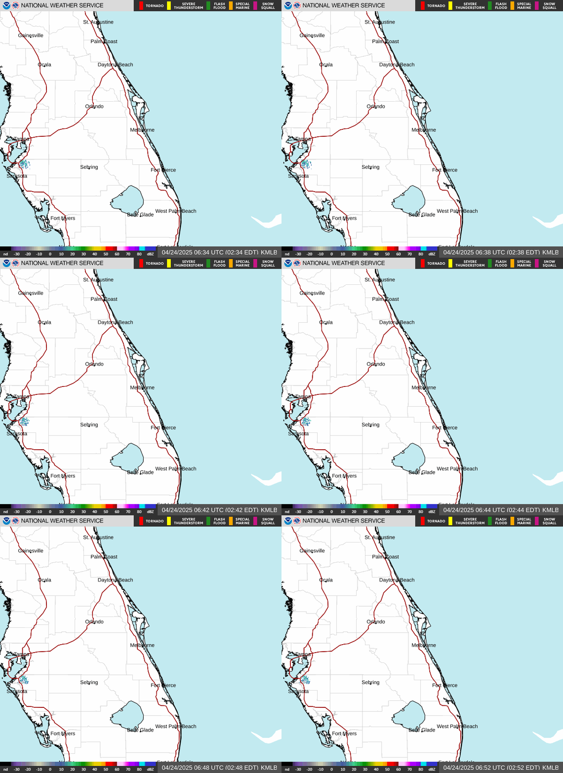
National Weather Service Melbourne 5-Day Forecast For Central Florida
ORLANDO, Florida – The National Weather Service in Melbourne forecasts another afternoon of inland-moving showers and thunderstorms across east Central Florida today, Tuesday, September 22, 2026.
Isolated coastal showers are possible this morning, with scattered to numerous storms developing from late morning into the afternoon as the sea breeze pushes inland. Isolated strong storms will be possible.
Rain chances today are generally 40–60% from the interior through the Treasure Coast, and lowest along the Volusia coast near 30%.
Similar elevated chances of 50–70% continue Wednesday. The first front of Fall arrives Thursday, bringing drier air, breezier conditions, and rain chances of 50–70% before coverage decreases Friday into the weekend.
Peak coverage is expected this afternoon as the sea breeze moves inland. Lingering activity should diminish or push offshore tonight.
Slow-moving storms may produce locally heavy rainfall of 1–3 inches, frequent lightning, and gusty winds to 50 mph. Minor localized flooding is possible in poor drainage areas.
Highs will be in the upper 80s to around 90°F under seasonably warm, humid conditions, with heat indices around 100°F.
The main hazards during peak storm hours this afternoon include:
A Moderate Risk of rip currents is forecast today at all area Atlantic beaches. Swim near a lifeguard. Increasing north-northeast winds Thursday and Friday will deteriorate beach and marine conditions.
East Central Florida cities forecast today include:
Today: A chance of showers and thunderstorms after 2pm. Mostly sunny, with a high near 90. Calm wind becoming east around 5 mph in the afternoon. Chance of precipitation is 40%.
Tonight: A 30 percent chance of showers and thunderstorms, mainly before 8pm. Mostly cloudy, with a low around 75. East wind around 5 mph becoming calm in the evening.
Wednesday: Showers and thunderstorms likely, mainly between 3pm and 5pm, then showers likely and possibly a thunderstorm after 5pm. Partly sunny, with a high near 90. Calm wind becoming east northeast around 5 mph in the afternoon. Chance of precipitation is 60%.
Wednesday Night: A 30 percent chance of showers and thunderstorms before 8pm. Partly cloudy, with a low around 75. Northeast wind around 5 mph becoming calm.
Thursday: A 50 percent chance of showers and thunderstorms after 2pm. Mostly sunny, with a high near 88. North northeast wind 10 to 15 mph, with gusts as high as 25 mph.
Thursday Night: A 30 percent chance of showers and thunderstorms before 8pm. Mostly clear, with a low around 73. North wind 10 to 15 mph, with gusts as high as 20 mph.
Copyright 2023-2025 FloridaWord.com