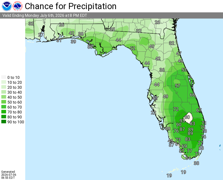
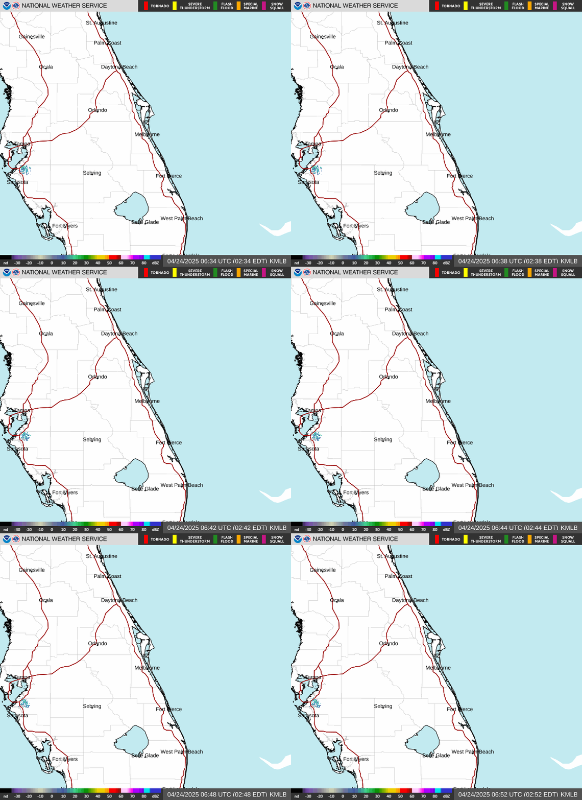
Showers and storms will increase in coverage this afternoon as the sea breeze develops and moves inland, with peak coverage expected between 3–8 pm as sea breezes collide near or west of I-95 and east of Orlando. Storms may produce frequent lightning, gusty winds up to 50 mph, and locally heavy rainfall. Showers and storms will taper off through the evening.
Stay hydrated and take breaks in the shade or air conditioning. Muggy conditions will build with heat indices reaching 102–106°F (locally higher) this afternoon.
Today (Monday)
Showers and thunderstorms likely, mainly between 3pm and 8pm. Mostly sunny, with a high near 92. Southwest wind around 5 mph. Chance of precipitation is 60%. New rainfall amounts between a tenth and quarter of an inch, except higher amounts possible in thunderstorms.
Tonight
A 30 percent chance of showers and thunderstorms, mainly before 9pm. Partly cloudy, with a low around 77. South wind around 5 mph.
Tuesday
Showers and thunderstorms likely after 2pm. Mostly sunny, with a high near 93. Heat index values as high as 102–104. Southwest wind 5 to 10 mph. Chance of precipitation is 60%. New rainfall amounts between a tenth and quarter of an inch, except higher amounts possible in thunderstorms.
Tuesday Night
Showers and thunderstorms likely before 11pm, then a slight chance of showers between 11pm and 2am. Partly cloudy, with a low around 77. South wind around 5 mph. Chance of precipitation is 60%.
Wednesday
Showers and thunderstorms likely after 2pm. Mostly sunny, with a high near 93. West southwest wind 5 to 10 mph. Chance of precipitation is 60%.
Wednesday Night
Showers and thunderstorms likely before 11pm, then a chance of showers between 11pm and 2am. Partly cloudy, with a low around 77. Southwest wind around 5 mph. Chance of precipitation is 60%.
Thursday
A 20 percent chance of showers and thunderstorms after 2pm. Sunny, with a high near 94. Calm wind becoming southwest around 5 mph in the afternoon.
Thursday Night
A 10 percent chance of showers and thunderstorms before 8pm. Partly cloudy, with a low around 78. Southwest wind around 5 mph.
Friday
A 20 percent chance of showers and thunderstorms. Sunny and hot, with a high near 95. Calm wind becoming southwest around 5 mph in the afternoon.
Friday Night
A 10 percent chance of showers and thunderstorms. Partly cloudy, with a low around 78. South wind around 5 mph.
Saturday
A 20 percent chance of showers and thunderstorms. Sunny and hot, with a high near 95. Calm wind becoming southwest around 5 mph in the afternoon.
Saturday Night
A 10 percent chance of showers and thunderstorms. Partly cloudy, with a low around 78. South wind around 5 mph.