Today
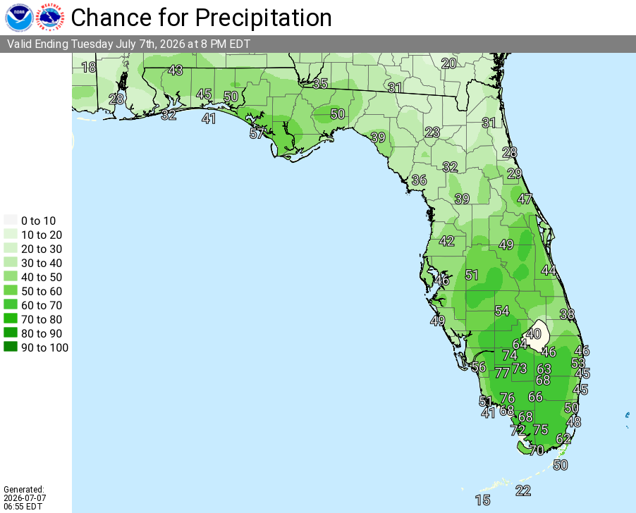
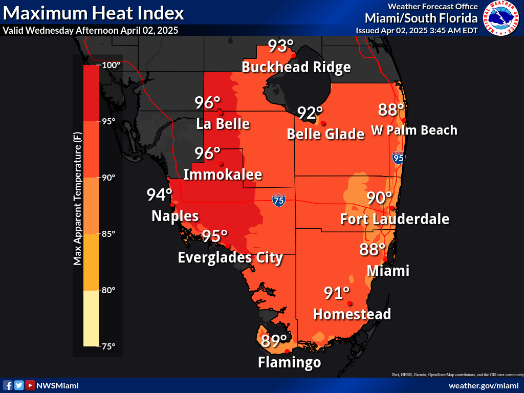
A 50 percent chance of showers and thunderstorms. Partly sunny, with a high near 89. Heat index values as high as 106. Southeast wind 5 to 11 mph. New rainfall amounts of less than a tenth of an inch, except higher amounts possible in thunderstorms.
Tonight
A 10 percent chance of showers and thunderstorms before 7pm. Partly cloudy, with a low around 84. Southeast wind 6 to 8 mph.
Wednesday
A 10 percent chance of showers and thunderstorms before 7am. Mostly sunny, with a high near 90. Heat index values as high as 106. Southeast wind 8 to 13 mph.
Wednesday Night
Partly cloudy, with a low around 85. East wind 11 to 14 mph.
Thursday
Sunny, with a high near 90. East wind 11 to 13 mph, with gusts as high as 18 mph.
Thursday Night
Mostly clear, with a low around 85. Breezy, with a southeast wind around 16 mph, with gusts as high as 20 mph.
Friday
A 30 percent chance of showers and thunderstorms, mainly after 2pm. Mostly sunny, with a high near 90. Southeast wind around 14 mph, with gusts as high as 20 mph.
Friday Night
A 30 percent chance of showers and thunderstorms, mainly before 8pm. Partly cloudy, with a low around 83. Southeast wind 10 to 13 mph, with gusts as high as 18 mph.
Saturday
A 20 percent chance of showers and thunderstorms after 2pm. Mostly sunny, with a high near 91. Southeast wind 9 to 11 mph.
Saturday Night
A 10 percent chance of showers and thunderstorms before 8pm. Partly cloudy, with a low around 83.
Sunday
Mostly sunny, with a high near 92.
Sunday Night
Mostly clear, with a low around 82.