North Florida

Strong Thunderstorms For North Florida

Published by
FLORIDA WORD

, Florida – The National Service in has issued a Heat Advisory and Thunderstorm Outlook for Monday, July 6, 2026.

Heat indices are expected to reach 105-109°F today across the coast and St. Johns River basin, with scattered to numerous typical summer thunderstorms possible, and a few stronger storms near the I-95 corridor to the coast this afternoon and evening.

A Heat Advisory is in effect through 7 PM today due to dangerous heat and humidity. Thunderstorm activity is expected to develop this afternoon, with the highest coverage and strongest storms anticipated near the I-95 corridor to the coast. Storms should diminish by evening.

According to the National Weather Service in Jacksonville, the primary threats include dangerous heat (heat exhaustion and heat stroke) along with storm hazards of wind gusts up to 50 mph, frequent lightning, and heavy downpours that could lead to localized minor flooding.


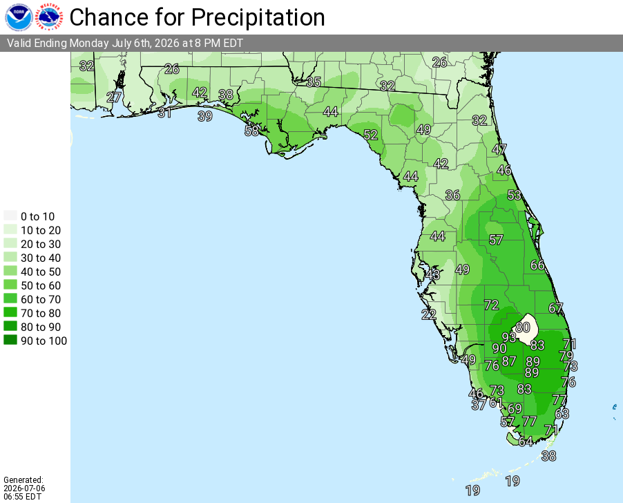
Jacksonville Thunderstorm Outlook for Northeast Florida, Monday, July 6, 2026.

Moderate rip current risk is also in effect for area beaches.

Storms today may produce:

  • Wind gusts up to 50 mph – Primary threat from stronger storms
  • Frequent lightning
  • Locally heavy downpours (minor flooding possible in spots)

National Service Jacksonville High Daily Heat Index Forecast – July 6–12, 2026.

The heat and storms will bring beneficial rainfall in some areas, but outdoor enthusiasts and beachgoers should have a safe shelter plan ready this afternoon and evening. Take frequent breaks, stay hydrated with water, and seek shade or air conditioning during peak heat hours (noon–6 PM). Never leave children or pets in vehicles.


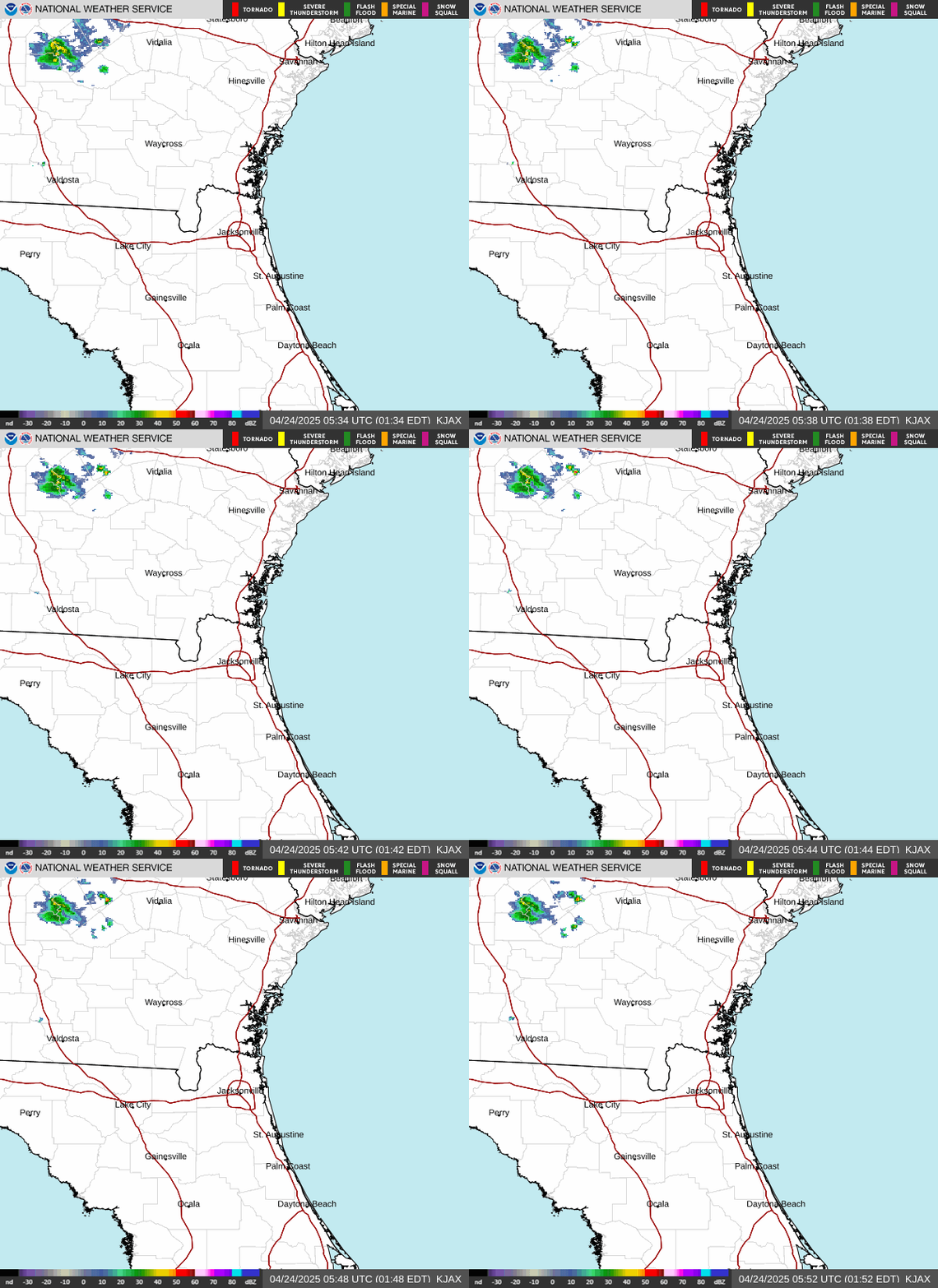
National Weather Service Jacksonville Weather Radar for Northeast Florida

Areas at highest risk today include:

  • Coastal areas and St. Johns River basin (Heat Advisory – including Jacksonville, Jacksonville Beach, and surrounding coastal communities)
  • Northeast Florida near the I-95 corridor to the coast (stronger thunderstorms – including Jacksonville, , and nearby areas)

Jacksonville Weather Forecast

Today (Monday, July 6)
A 40 percent chance of showers and thunderstorms after 2pm. Mostly sunny and hot, with a high near 95. Heat index values as high as 105-109. Southwest wind 7 to 9 mph.
Tonight
A 30 percent chance of showers and thunderstorms, mainly before 7pm. Partly cloudy then becoming mostly clear, with a low around 78.
Tuesday
A 40 percent chance of showers and thunderstorms, mainly after 2pm. Mostly sunny and hot, with a high near 95. Heat index values as high as 105-106.
Tuesday Night
A 30 percent chance of showers and thunderstorms before 8pm. Partly cloudy, with a low around 78.
Wednesday
A 30 percent chance of showers and thunderstorms after 2pm. Mostly sunny and hot, with a high near 96.
Wednesday Night
A 20-30 percent chance of showers and thunderstorms. Partly cloudy, with a low around 78-79.
Thursday
A 20-40 percent chance of showers and thunderstorms. Mostly sunny and hot, with a high near 95-97.
Published by
FLORIDA WORD

Contact Us    Privacy Policy

Copyright 2023-2025 FloridaWord.com