National Weather Service Storm Prediction Center Severe Weather Outlook for Florida for Monday, June 29, 2026.
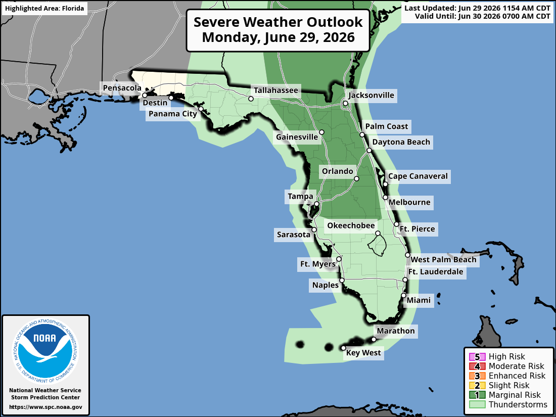
ORLANDO, Florida – The National Weather Service in Melbourne forecasts isolated to scattered showers and thunderstorms across East Central Florida today, with the greatest chances focused across the interior (primarily west of I-95).
Lightning, wind gusts up to 50 mph, heavy downpours, and localized flooding will be possible.
NWS Melbourne warns of increasing storms across east central Florida today with a Marginal Risk (Level 1 of 5) for severe weather, mainly inland areas west of I-95 from 3-9 PM on June 29, 2026.
Key threats include strong wind gusts of 45-55 mph (up to 60 mph localized), hail to 1 inch, frequent lightning, and heavy rain of 2-4 inches that could cause minor flooding.
Hot and humid conditions continue with a Heat Advisory in effect for northern portions of East Central Florida (including the Orlando area) from 12 PM to 7 PM today. Peak heat indices are expected to reach 106–110°F this afternoon. Moderate to Major HeatRisk is forecast across much of the region.
Heat Advisory – Northern East Central Florida (12 PM – 7 PM)
Showers and thunderstorms are forecast today, mainly developing inland this afternoon and shifting eastward toward the coast and offshore through the afternoon and evening.
The main hazards during peak storm hours this afternoon and evening include:
Exercise caution at Atlantic beaches due to a moderate risk of rip currents. Swim near lifeguards and never enter the surf alone. Stay cool and hydrated as heat indices reach 106–110°F this afternoon across northern areas. A Moderate to Major HeatRisk is forecast — practice heat safety: stay hydrated, take breaks in air conditioning or shade, and never leave children or pets in vehicles.
East Central Florida cities forecast to see warm temperatures today include:
National Weather Service Melbourne Central Florida Radar
Copyright 2023-2025 FloridaWord.com


