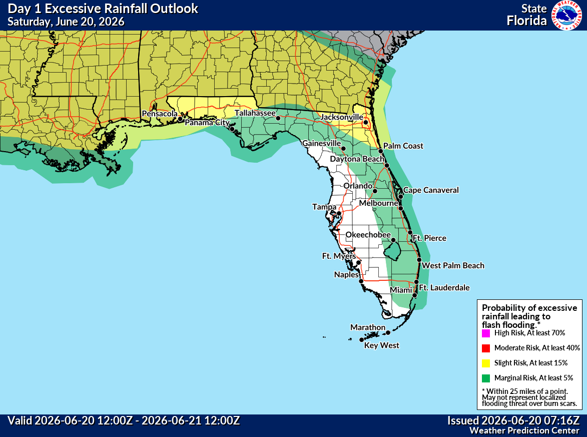
ORLANDO, Florida – The National Weather Service in Melbourne forecasts scattered to numerous showers and thunderstorms this Saturday, June 20, 2026, developing inland this morning and early afternoon, then shifting eastward toward the coast and offshore through the afternoon and evening. Some stronger storms will be possible, producing localized flooding. Highs will be in the low 90s with peak heat indices of 102–107°F. No Heat Advisory is in effect today.
The NWS warns of the following hazards during peak storm hours this afternoon and evening:
- Frequent lightning strikes
- Gusty winds of 45–55 mph (isolated gusts up to 60 mph possible)
- Small hail
- Possible brief funnel clouds or waterspouts
- Locally heavy rainfall (2–3 inches possible in the strongest storms), with localized flooding
Exercise caution at Atlantic beaches due to possible rip currents. Swim near lifeguards and never enter the surf alone.
East Central Florida cities forecast to see warm temperatures today include:
- Orlando (high near 93°F, storms likely afternoon/evening)
- Daytona Beach (high near 93°F)
- Melbourne (high near 91–92°F)
- Vero Beach (high near 92°F)
 National Weather Service Melbourne Central Florida Radar
 Orlando Weather Forecast
Today
Showers and thunderstorms likely, developing by late morning or early afternoon. Mostly sunny becoming partly cloudy, with a high near 93°F. Southwest wind 5 to 10 mph. Chance of precipitation is 50-70%. Heat index values up to 102-107°F.
Tonight
Showers and thunderstorms likely before midnight, then a slight chance of showers. Partly cloudy, with a low around 75-77°F. Chance of precipitation is 50-60%.
Sunday
A chance of showers and thunderstorms after 2pm. Mostly sunny, with a high near 92°F. Chance of precipitation is 40-60%.
Sunday Night
A slight chance of showers. Partly cloudy, with a low around 74-76°F.