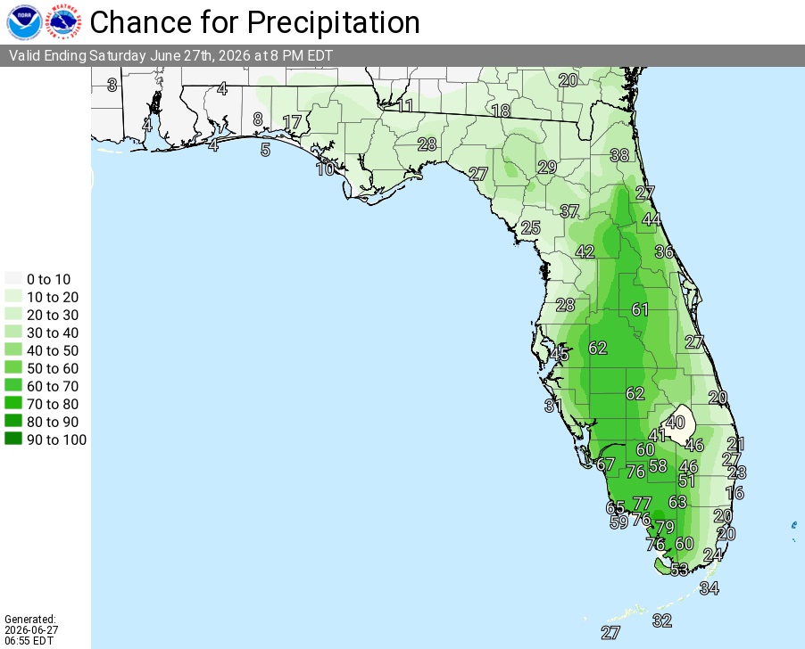
Today
A 40 percent chance of showers and thunderstorms, mainly after 2pm. Mostly sunny, with a high near 93. Heat index values as high as 102. Calm wind becoming southeast around 5 mph in the afternoon.
Tonight
Showers and thunderstorms likely before 11pm, then a slight chance of showers between 11pm and midnight. Partly cloudy, with a low around 77. Southwest wind around 5 mph becoming calm in the evening. Chance of precipitation is 60%. New precipitation amounts between a quarter and half of an inch possible.
Sunday
A 30 percent chance of showers and thunderstorms, mainly after 3pm. Mostly sunny, with a high near 94. Heat index values as high as 103. Calm wind becoming south around 5 mph.
Sunday Night
A 30 percent chance of showers and thunderstorms, mainly before 7pm. Mostly cloudy, then gradually becoming clear, with a low around 78. Southeast wind around 5 mph.
Monday
Showers and thunderstorms likely after 2pm. Sunny and hot, with a high near 95. Calm wind becoming southwest around 5 mph. Chance of precipitation is 60%.
Monday Night
Showers and thunderstorms likely before 11pm, then a chance of showers between 11pm and 2am. Partly cloudy, with a low around 77. West northwest wind around 5 mph becoming calm. Chance of precipitation is 60%.
Tuesday
A slight chance of thunderstorms, then showers and thunderstorms likely after 8am. Mostly sunny, with a high near 93. Calm wind becoming north northwest around 5 mph in the afternoon. Chance of precipitation is 70%.
Tuesday Night
Showers and thunderstorms likely, mainly before 8pm. Partly cloudy, with a low around 76. East northeast wind around 5 mph becoming calm in the evening. Chance of precipitation is 60%.
Wednesday
Showers and thunderstorms likely, mainly after 2pm. Mostly sunny, with a high near 92. Calm wind becoming east northeast around 5 mph in the afternoon. Chance of precipitation is 70%.
Wednesday Night
Showers and thunderstorms likely, mainly before 8pm. Partly cloudy, with a low around 76. East wind around 5 mph becoming calm after midnight. Chance of precipitation is 60%.
Thursday
A 50 percent chance of showers and thunderstorms. Sunny, with a high near 92. Calm wind becoming east southeast around 5 mph in the afternoon.
Thursday Night
A 30 percent chance of showers and thunderstorms. Mostly clear, with a low around 76. East southeast wind around 5 mph becoming calm in the evening.
Friday
A 50 percent chance of showers and thunderstorms. Sunny, with a high near 93. Calm wind becoming east southeast around 5 mph in the afternoon.