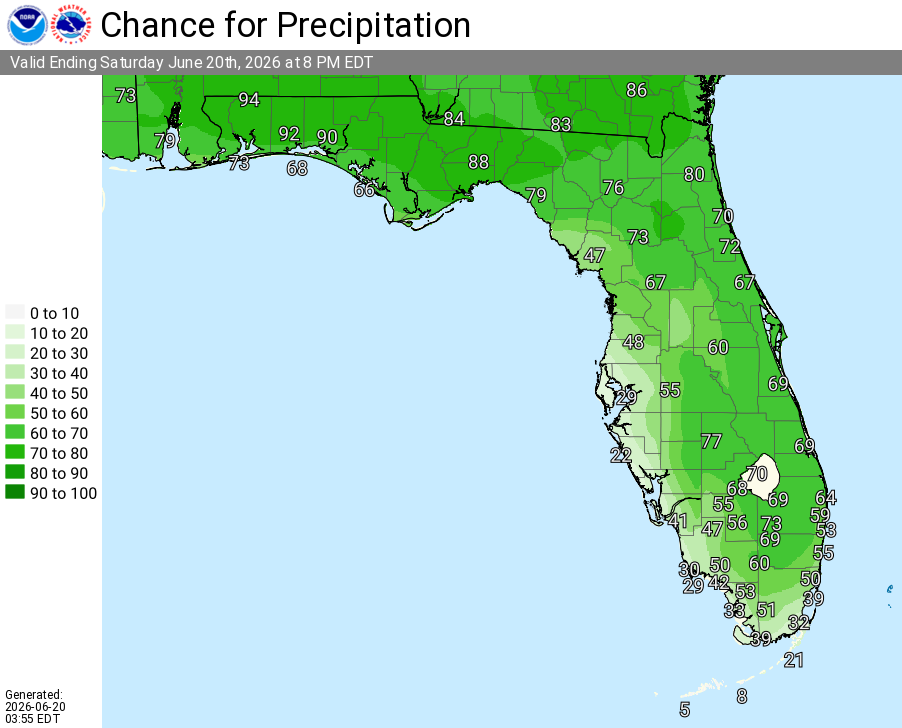
North Florida

Strong Thunderstorms, Heavy Downpours For North Florida

Published by
FLORIDA WORD

, Florida – The National Service in has issued a Thunderstorm Outlook for today, with isolated strong thunderstorms possible across northeast Florida and southeast Georgia.

Thunderstorm activity is just starting to develop west of I-75 and will push inland through this afternoon and evening. The strongest storms are expected closer to the I-95 corridor as southwest flow interacts with the east coast sea breeze.

The National Weather Service in Jacksonville is alerting residents of the thunderstorm risk today. The primary threats are damaging wind gusts of 40-50 mph and heavy rainfall, along with frequent lightning.


Jacksonville Thunderstorm Outlook for Northeast Florida and Southeast Georgia, Sunday, June 21, 2026.

According to NWS Jacksonville, isolated strong thunderstorms are possible today across northeast Florida and southeast Georgia.

Storms today may produce:

  • Damaging winds (40-50 mph) – Primary threat
  • Frequent lightning
  • Locally heavy downpours (minor flooding possible in spots)

The storms are expected to bring widespread beneficial rainfall across the region.


National Service Jacksonville Weather Radar for Northeast Florida

areas at highest risk for thunderstorms today include:

  • Palatka
  • Palm Coast
  • Jacksonville
  • Jacksonville Beach
  • Saint Augustine

Jacksonville Weather Forecast

Sunday (Today)
Hot with a high near 90°F. Showers and thunderstorms likely, mainly after 2pm into the evening, especially across much of the area with the strongest storms near the I-95 corridor. Chance of precipitation 60%. Hazards include damaging wind gusts up to 50 mph, frequent lightning, and locally heavy downpours.

Sunday Night
A 30% chance of showers and thunderstorms, mainly before midnight. Partly cloudy. Low around 75°F. Southwest wind 5-10 mph.

Monday
A 30% chance of showers and thunderstorms, mainly in the afternoon. Mostly sunny and hot, with a high near 93°F. Heat index values as high as 105°F. Southwest wind 5-9 mph, with gusts as high as 16 mph.
Monday Night
A 30% chance of showers and thunderstorms, mainly before 7pm. Partly cloudy, with a low around 78°F. Southwest wind around 7 mph.
Tuesday
A 30% chance of showers and thunderstorms after 2pm. Mostly sunny and hot, with a high near 95°F. West wind around 9 mph, with gusts as high as 16 mph.
Tuesday Night
A chance of showers and thunderstorms before 11pm, then a chance of showers between 11pm and 2am. Partly cloudy, with a low around 77°F. Chance of precipitation is 30%.
Wednesday
A 30% chance of showers and thunderstorms after 2pm. Mostly sunny, with a high near 94°F.
Wednesday Night
A 30% chance of showers and thunderstorms before 2am. Mostly cloudy, with a low around 77°F.
Thursday
Showers and thunderstorms likely after 2pm. Partly sunny, with a high near 93°F. Chance of precipitation is 60%.
Thursday Night
Showers and thunderstorms likely, mainly before 8pm. Partly cloudy, with a low around 77°F. Chance of precipitation is 60%.
Published by
FLORIDA WORD

Contact Us    Privacy Policy

Copyright 2023-2025 FloridaWord.com