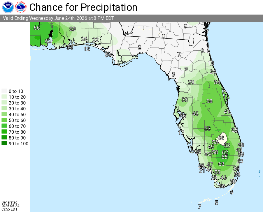
National Weather Service Rain Chances for Florida Florida on Wednesday, June 24, 2026.
OCALA, Florida – The National Weather Service in Jacksonville has issued a Thunderstorm Outlook for Wednesday, June 24, 2026, noting mostly dry conditions across most of the local area, with isolated strong thunderstorms possible across locations in north central Florida from mid-afternoon hours to early evening hours.
Thunderstorm activity, where it develops, is expected from mid-afternoon through early evening hours. The strongest storms are anticipated in north central Florida.
According to the National Weather Service in Jacksonville, the primary threats from stronger storms are damaging wind gusts of 40-50 mph (downburst winds), frequent lightning, and heavy downpours that could lead to localized minor flooding.
According to NWS Jacksonville, isolated strong thunderstorms are possible today across north central Florida, while most other areas remain mostly dry.
Storms today may produce:
The storms are expected to bring beneficial rainfall across parts of north central Florida where they develop.
Areas at highest risk for strong thunderstorms today include:
Wednesday (Today)
Hot with a high near 95°F. Mostly dry across most areas, with isolated strong thunderstorms possible in north central Florida from mid-afternoon to early evening. Any stronger storms may produce damaging wind gusts up to 50 mph, frequent lightning, and locally heavy downpours. Heat index values as high as 106°F. West wind 8-11 mph with gusts up to 20 mph.
Wednesday Night
A chance of showers and thunderstorms early, then partly cloudy. Low around 71-74°F. West wind 6-9 mph.
Copyright 2023-2025 FloridaWord.com


