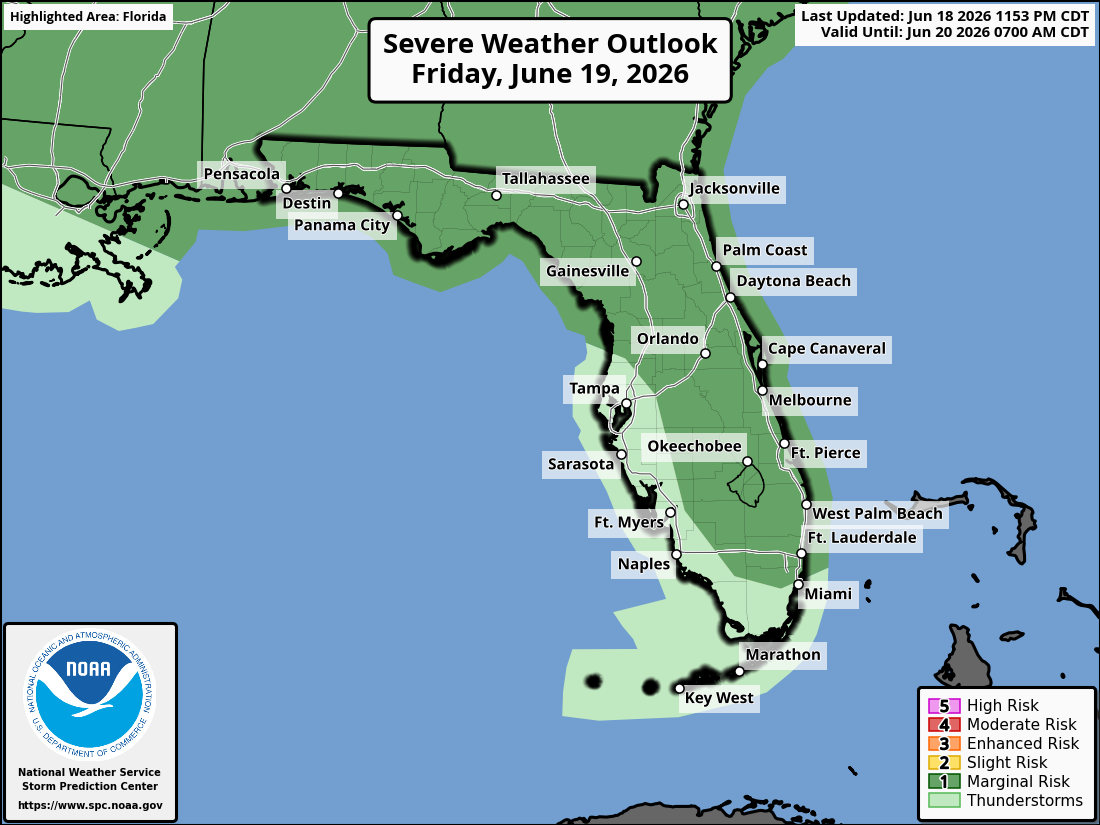
National Weather Service Storm Prediction Center Severe Weather Outlook for Florida for Friday, June 19, 2026.
JACKSONVILLE, Florida – The National Weather Service Storm Prediction Center has placed portions of southeast Georgia and northeast Florida under a Marginal Risk (level 1/5) for severe thunderstorms today, Friday, June 19, 2026.
Strong to isolated severe thunderstorms are expected across southeast Georgia and northeast Florida, mainly during the afternoon and early evening hours.
The National Weather Service in Jacksonville is alerting residents of the severe storm risk today. The primary threat is damaging wind gusts of 40-60 mph.
According to NWS Jacksonville, stronger storms may develop with the Marginal (1/5) risk level, with isolated strong-to-severe thunderstorms possible across the shaded area.
Stronger storms today may produce:
North Florida and Southeast Georgia areas at highest risk for thunderstorms include:
Today (Friday, June 19)
Hot with a high near 90°F. Strong to isolated severe thunderstorms possible in the afternoon and early evening, mainly along the I-95 and U.S. 17 corridors and the Atlantic sea breeze. Chance of precipitation 40-70%. Hazards include damaging winds (40-60 mph), frequent lightning, locally heavy downpours, and localized flooding.
Tonight
Chance of showers and thunderstorms, mainly early in the evening. A squall line may approach from southeast Georgia overnight. Low around 75°F. South wind 5-10 mph.
Copyright 2023-2025 FloridaWord.com


