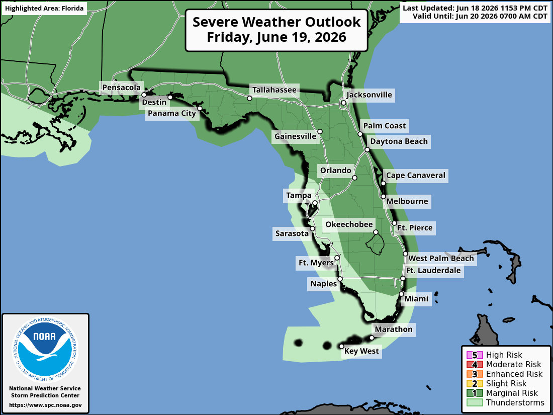
National Weather Service Storm Prediction Center Severe Weather Outlook for Florida for Friday, June 19, 2026.
TAMPA BAY, Florida – The National Weather Service Tampa Bay has issued a Heat Advisory and a Severe Weather Outlook for the Nature Coast and West Central Florida on Friday, June 19, 2026, indicating dangerous heat and a marginal risk of severe thunderstorms this afternoon and evening.
Dangerous heat is expected again today with highs in the mid to upper 90s and feels-like temperatures of 105–110°F. A Heat Advisory is in effect from 11 AM until 7 PM for parts of the Nature Coast southward through West Central and Southwest Florida.
Heat Advisory for the Nature Coast through West Central and Southwest Florida – Friday, June 19, 2026.
The National Weather Service (NWS) Storm Prediction Center has issued a Level 1 (Marginal) risk of severe storms across the Nature Coast into central and southern interior Florida.
Severe Storm Risk – Marginal Risk (Level 1 of 5) for the Nature Coast through central and southern interior Florida, Friday, June 19, 2026.
The main hazards include damaging wind gusts from thunderstorms this afternoon and evening. Isolated stronger storms could produce gusty winds capable of downing tree limbs and causing power outages.
The risk area includes Chiefland, Crystal River, Brooksville, Tampa, St. Petersburg, Sarasota, and interior locations across West Central Florida.
Thunderstorms are expected to develop this afternoon and move across the region into the evening hours.
National Weather Service Tampa Radar for West Central Florida and Southwest Florida
Copyright 2023-2025 FloridaWord.com


