Severe Thunderstorms, Dangerous Heat Risk For South Florida
Published by
FLORIDA WORD
June 25, 2026 7:56 am
Share
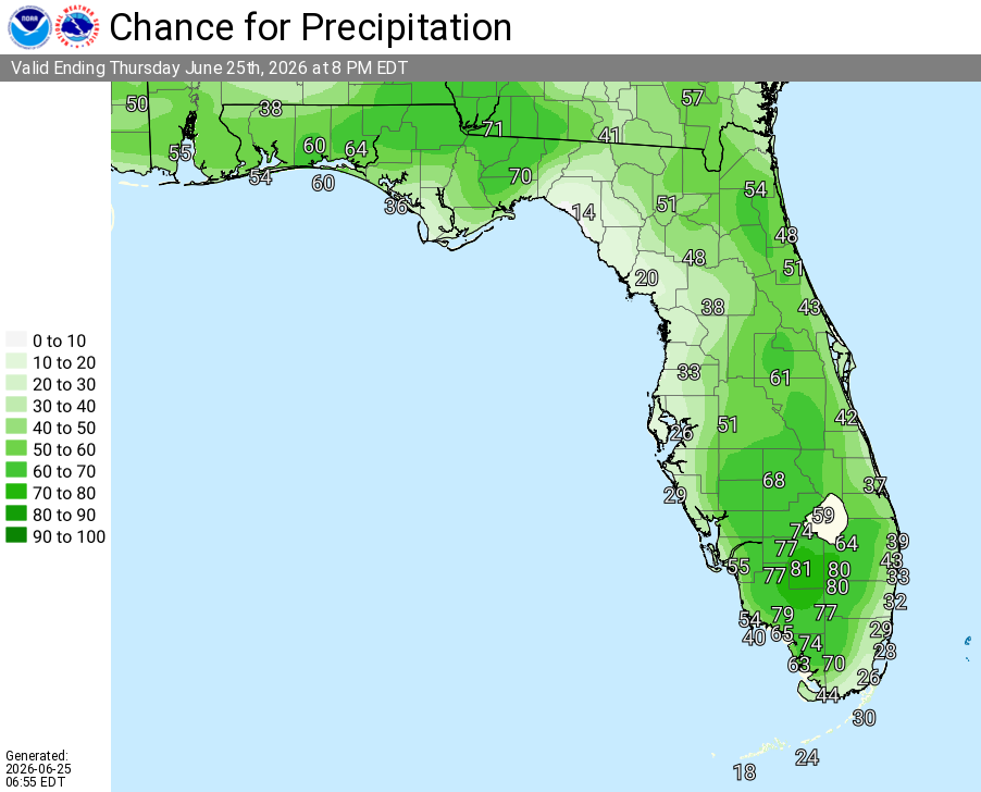
National Weather Service Rain Chances for Florida Florida on Thursday, June 25, 2026.
MIAMI, Florida – The National Weather Service in Miami forecasts scattered to numerous showers and thunderstorms across South Florida this afternoon and evening on Thursday, June 25, 2026, with a few strong to severe storms possible.
Storms could develop as early as early afternoon, with the highest chances over the interior and spreading to the east coast metro areas later.
NWS Miami – Thunderstorms and Rainfall This Afternoon, June 25, 2026
Main hazards include frequent lightning, gusty to damaging winds up to 50-60 mph, and locally heavy downpours that may cause poor drainage flooding. An isolated tornado or hail cannot be ruled out, though these are less likely than the primary threats of wind and lightning.
NWS Miami Rain Chances, June 25, 2026
These storms may produce wind gusts up to 60 mph and locally heavy rainfall.
NWS Miami South Florida Doppler Radar
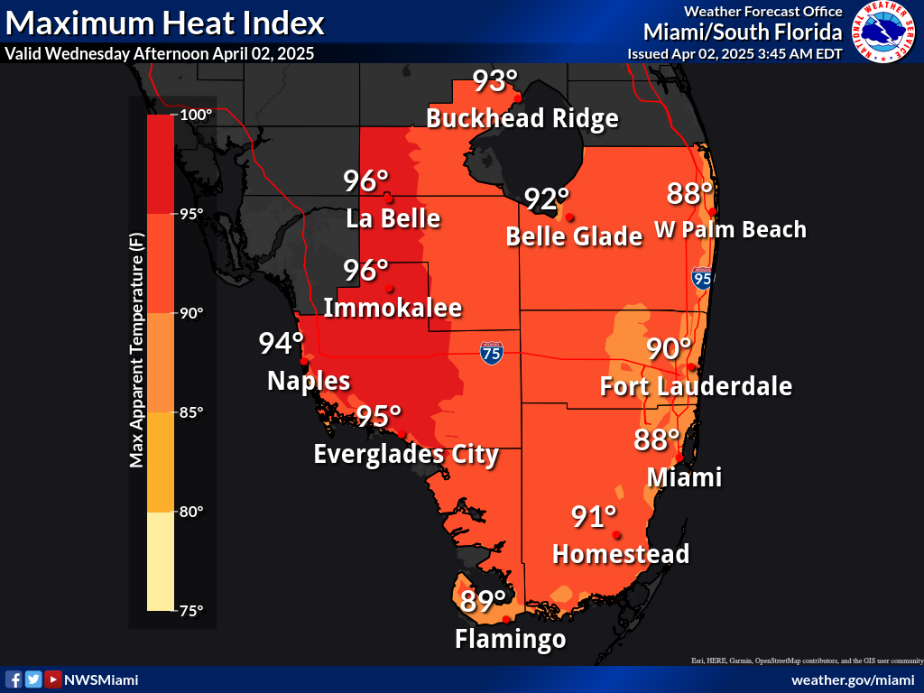
High temperatures will range from the upper 80s to low 90s this afternoon, with heat indices reaching 102–105°F or higher. Moderate to Major HeatRisk impacts are expected today, with the highest probability of Major HeatRisk along the West Coast. Elevated heat risk continues through the weekend.
Air Quality Alert: An Air Quality Alert is in effect until 3 PM today for Miami-Dade County. Several wildfires in southeast Florida are producing large quantities of smoke, leading to poor air quality and reduced visibility across Miami-Dade County. Sensitive individuals should limit outdoor activities.
Mostly sunny to partly cloudy, with a chance of showers and thunderstorms, mainly this afternoon. High near 90–91. Southeast wind 6–10 mph. Chance of precipitation is 30%. Heat index values up to 102–103°F. Patchy smoke possible early.
Thursday Night
Mostly clear. Low around 82. Southeast wind around 6–10 mph. Chance of precipitation is 20% or less.
Friday
Mostly sunny, with a slight chance of showers and thunderstorms after 2–3pm. High near 90–92. Southeast wind 8–11 mph. Chance of precipitation is 20%. Heat index values up to 105°F.
Friday Night
Mostly clear, with a slight chance of showers and thunderstorms early. Low around 83–84. East wind around 8–11 mph. Chance of precipitation is 10–20%.
Saturday
Mostly sunny, with a slight chance of showers and thunderstorms after 2pm. High near 90. East wind 8–10 mph. Chance of precipitation is 20%.