National Weather Service Excessive Rainfall Outlook for Florida June 20, 2026.
TALLAHASSEE, Florida – The National Weather Service is highlighting a Slight Risk (Level 2 of 4) for Excessive Rainfall today (Saturday, June 20, 2026) across southeast Alabama’s Wiregrass region, southwest Georgia, and the Florida Panhandle.
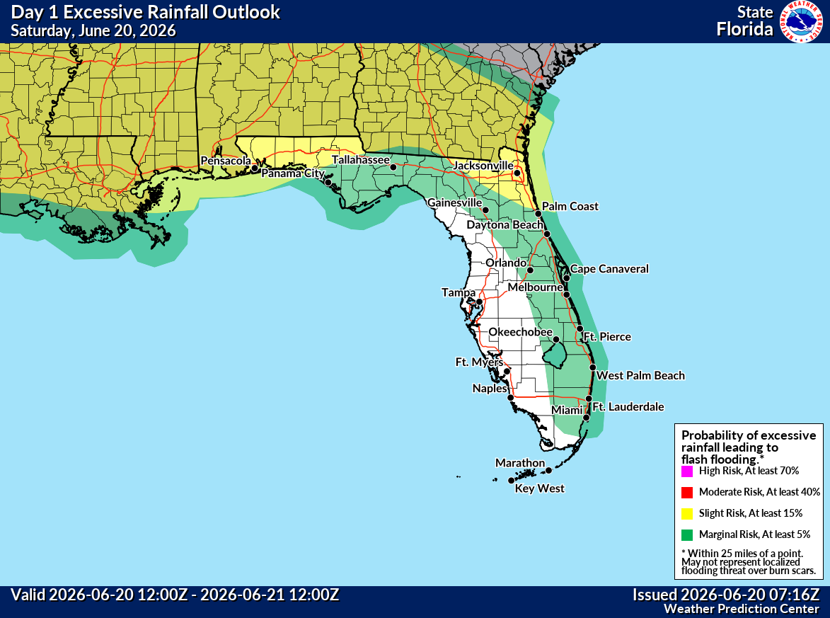
The Weather Prediction Center has placed portions of southeast Alabama, southwest Georgia, and the eastern Florida Panhandle under a Slight Risk (Level 2 of 4) of excessive rainfall today.
According to the National Weather Service Tallahassee, showers and thunderstorms will become more numerous this afternoon through the evening. Heavy rain may lead to isolated flash flooding. Most areas are expected to receive significant rainfall, with the potential for dangerous and life-threatening flash flooding where the heaviest rain falls. Turn Around, Don’t Drown!
The main hazards with thunderstorms today are frequent dangerous lightning, heavy rainfall capable of producing flash flooding, and a few gusty winds.
Cities at risk for thunderstorms, heavy rain, and possible localized flooding include:
Copyright 2023-2025 FloridaWord.com


