National Weather Service Rain Chances for Florida on Monday, May 25, 2026.
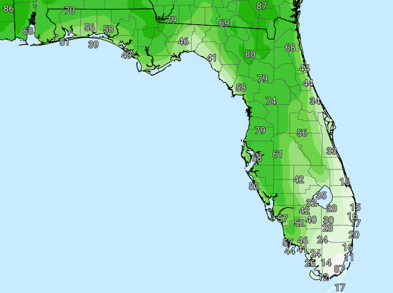
TALLAHASSEE, Florida – Rain chances remain high today, with scattered to widespread showers and thunderstorms expected across much of the region, according to the National Weather Service in Tallahassee.
This will result in showers and thunderstorms, especially across the Florida Panhandle into southeast Alabama and southwest Georgia this afternoon and evening.
A Slight Risk (Level 2 of 4) for excessive rainfall is in effect for the Florida Panhandle into southeast Alabama and southwest Georgia this afternoon into evening, with most areas seeing 1-2 inches and isolated totals up to 3-5 inches possible.
A general thunderstorm risk exists across the broader Tri-State area, with highest coverage across the Panhandle and inland zones.
Scattered showers and thunderstorms are possible this morning through early evening across the entire Tri-State region, with activity favoring the Panhandle and inland areas this afternoon.
Primary hazards with any stronger storms today include locally heavy rainfall, dangerous lightning, and torrential downpours. Isolated flash flooding is possible where storms train or move slowly, along with ponding of water on roadways.
Patchy fog is possible early this morning in portions of southeast Alabama, southwest Georgia, and the Florida Panhandle.
On a positive note, beneficial rainfall is expected region-wide over the next 7 days. Expect 1-4 inches widespread, with the highest amounts inland across southeast Alabama and southwest Georgia. Coastal areas will see 1-2 inches. This will help alleviate ongoing dry conditions across the area.
Cities at risk for thunderstorms today include:
High temperatures across the Florida Panhandle and north Florida will be in the low to mid 80s °F thanks to mostly cloudy skies. Overnight lows will drop into the low 70s.
Copyright 2023-2025 FloridaWord.com


