ORLANDO, Florida – Warm and humid conditions continue across east Central Florida this Wednesday, May 27, 2026.
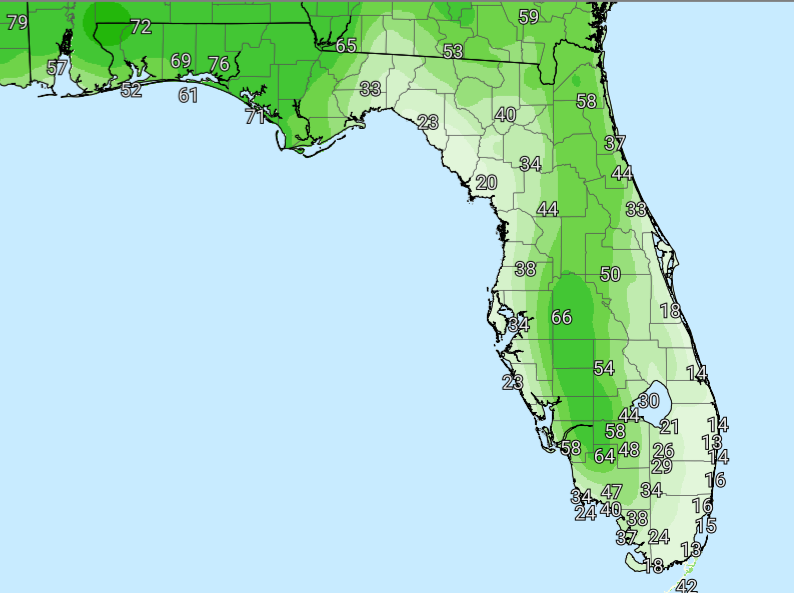
The National Weather Service in Melbourne forecasts rain and storm chances increasing slightly across the interior this afternoon and evening. The sea breeze collision is expected to occur more eastward than in recent days, bringing isolated to scattered strong storms. Onshore flow will keep most of the Atlantic coast drier.
 NWS Melbourne Today’s Outlook Graphic
The NWS warns of the following hazards during the peak storm hours this afternoon and evening on Wednesday:
- Frequent lightning strikes
- Gusty winds (50-60 mph in the strongest storms)
- Small hail
- Locally heavy downpours
A HIGH Rip Current Risk continues today for ALL Atlantic beaches in Volusia, Space, and Treasure Coasts. Numerous strong, life-threatening rip currents and rough surf (3-4 ft) are expected—stay out of the ocean and follow lifeguard instructions.
East Central Florida cities forecast to see warm temperatures today include:
- Orlando (high near 91°F, rain chance 50%)
- Daytona Beach (high near 90°F, rain chance 40%)
- Melbourne (high near 88°F, rain chance 20%)
- Vero Beach (high near 89°F, rain chance 20%)

National
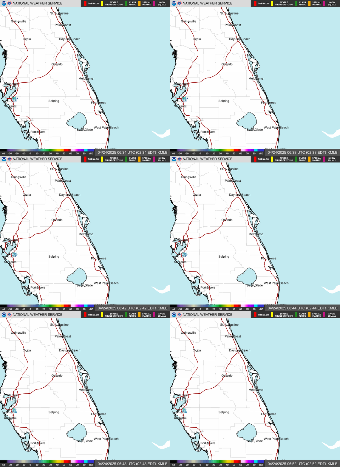
Weather Service Melbourne Weather Radar
Orlando Weather Forecast
Today (Wednesday)
Mostly sunny, with a high near 91. A 50 percent chance of showers and thunderstorms after 2pm.
Tonight
Partly cloudy, with a low around 75. A 30 percent chance of showers and thunderstorms before midnight.
Thursday
Mostly sunny, with a high near 90. A 40 percent chance of showers and thunderstorms after 2pm.
Thursday Night
Partly cloudy, with a low around 75. A 30 percent chance of showers and thunderstorms before 8pm.
Friday
Mostly sunny, with a high near 90. A 30 percent chance of showers and thunderstorms after 2pm.
Friday Night
Partly cloudy, with a low around 74.