JACKSONVILLE, Florida – The National Weather Service Jacksonville is forecasting summer-like conditions across northeast Florida and southeast Georgia for the Memorial Day holiday weekend.
Humid air, warm temperatures, and daily afternoon showers and thunderstorms are expected as sea breezes push inland and converge over interior areas.
According to NWS Jacksonville, summer-like conditions will dominate the holiday weekend with daily afternoon and evening thunderstorms, elevated heat indices, and a high risk of rip currents at local beaches.
Key hazards this weekend include:
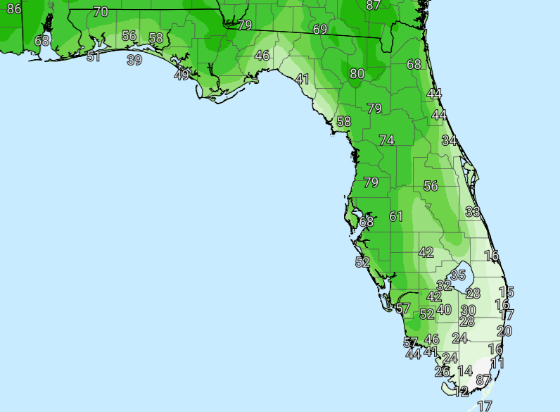
In its latest Sunday morning update, NWS Jacksonville reported that showers and a few storms brought much-needed rainfall yesterday and last night, with localized higher totals of 2-4 inches across inland north-central Florida and pockets of inland southeast Georgia. The rain will help temper wildfire activity, though long-term drought continues and burn bans remain in effect for many local counties.
With the ground now saturated in many areas, locally heavy rain from this afternoon and evening’s inland storms may cause brief temporary flooding issues. Motorists should use extra caution on slick roads.
Beachgoers are reminded of the high rip current risk through Memorial Day, with elevated surf and breakers of 2-4 feet along beaches including St. Simons, Jekyll, Fernandina, Jacksonville, St. Augustine, and Flagler. Stay out of the ocean and heed beach patrol guidance.
North Florida and southeast Georgia areas expecting daily thunderstorms and elevated heat this weekend include:
Saturday through Monday
Mostly sunny to partly cloudy each day with daily afternoon and evening showers and thunderstorms, especially inland where sea breezes converge. Highs in the upper 80s to low 90s (heat index 95–105°F inland). Coastal areas will be slightly cooler in the mid to upper 80s. Southeast winds 5–10 mph with higher gusts possible near storms.
Weekend Nights
Partly to mostly cloudy with lows in the low to mid 70s. Lingering showers and storms possible early in the evening, then decreasing overnight.
Copyright 2023-2025 FloridaWord.com


