National Weather Service Rain Chances for Florida on Thursday, May 28, 2026.
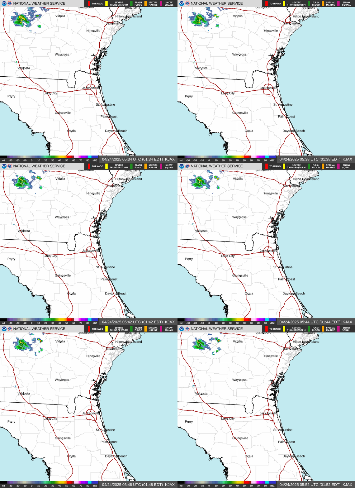
JACKSONVILLE, Florida – The National Weather Service in Jacksonville is forecasting continued hot, humid, and unsettled summer-like conditions across Northeast Florida and Southeast Georgia through early next week.
Abundant tropical moisture, daily sea-breeze convergence, and warm temperatures will fuel afternoon and evening showers and thunderstorms across the region through at least early next week.
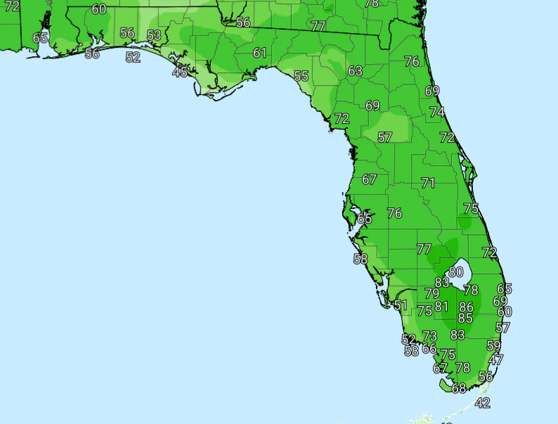
According to NWS Jacksonville, the probability of rainfall causing flash flooding is as follows:
According to NWS Jacksonville, summer-like conditions will dominate with daily afternoon and evening thunderstorms, elevated heat indices, and a moderate to high risk of rip currents at local beaches.
Key hazards this period include:
In its Thursday morning update, NWS Jacksonville noted that widespread showers and thunderstorms have already occurred, with additional rounds expected daily.
Tropical moisture is expected to produce rainfall totals of 2–4+ inches through early next week (localized higher amounts possible). While the rain will help suppress wildfire activity, long-term drought persists and burn bans remain in effect for many counties.
With the ground now saturated in many areas, even brief heavy downpours this afternoon and evening could cause temporary urban flooding. Motorists should exercise caution on slick roads.
Beachgoers are urged to heed the moderate to high rip current risk through the weekend. Elevated surf and breakers are expected at beaches including St. Simons, Jekyll, Fernandina, Jacksonville, St. Augustine, and Flagler. Stay out of the ocean and follow beach patrol instructions.
North Florida and southeast Georgia locations expecting daily thunderstorms and elevated heat this period include: Gainesville, Ocala, Lake City, Starke, Palatka, Jacksonville (inland areas), Waycross, Brunswick, and Homerville.
Copyright 2023-2025 FloridaWord.com