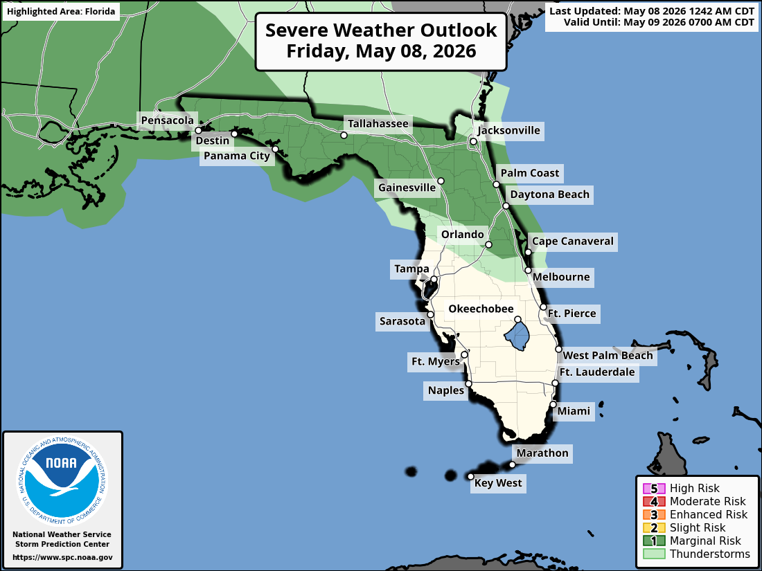
National Weather Service Storm Prediction Center Severe Weather Outlook for Florida on Friday, May 8, 2026.
JACKSONVILLE, Florida – The National Weather Service in Jacksonville is forecasting showers and isolated thunderstorms across northeast Florida today due to a stalling frontal boundary, while southeast Georgia will see cooler and drier conditions.
Isolated thunderstorms are expected mainly this afternoon and early evening (1 PM to 8 PM), particularly in inland northeast Florida between Highway 301 and Interstate 75.
The National Weather Service in Jacksonville is alerting residents of the storm risk today. The primary threat is damaging wind gusts of 40-50 mph.
According to NWS Jacksonville, stronger storms may develop with scattered showers and isolated thunderstorms possible across northeast Florida. Smoke from the South Canal wildfire (currently 1,200-1,600 acres in Lafayette County) is shifting south of I-10 this morning before moving west of Highway 301 this afternoon.
Stronger storms on Friday may produce:
Ongoing exceptional drought conditions continue across the region. The storms are expected to bring widespread beneficial rainfall, providing needed moisture amid the drought. Residents should practice wildfire prevention measures given the dry conditions and ongoing fire activity.
North Florida areas at highest risk for thunderstorms include:
Friday
Mostly cloudy with a high near 83°F. South winds 10-15 mph. Scattered showers and isolated thunderstorms likely in the afternoon and evening, especially inland south of I-10. Chance of precipitation 60-80%. Hazards include damaging winds, frequent lightning, and locally heavy downpours.
Friday Night
Chance of showers and thunderstorms, mainly before midnight. Low around 70°F. South wind 5-10 mph.
Copyright 2023-2025 FloridaWord.com


