National Weather Service Storm Prediction Center Severe Weather Outlook for Florida on Sunday, May 10, 2026.
TALLAHASSEE, Florida – Rain and thunderstorms are expected to impact north Florida, southeast Alabama’s Wiregrass region, and southwest Georgia today, according to the National Weather Service in Tallahassee.
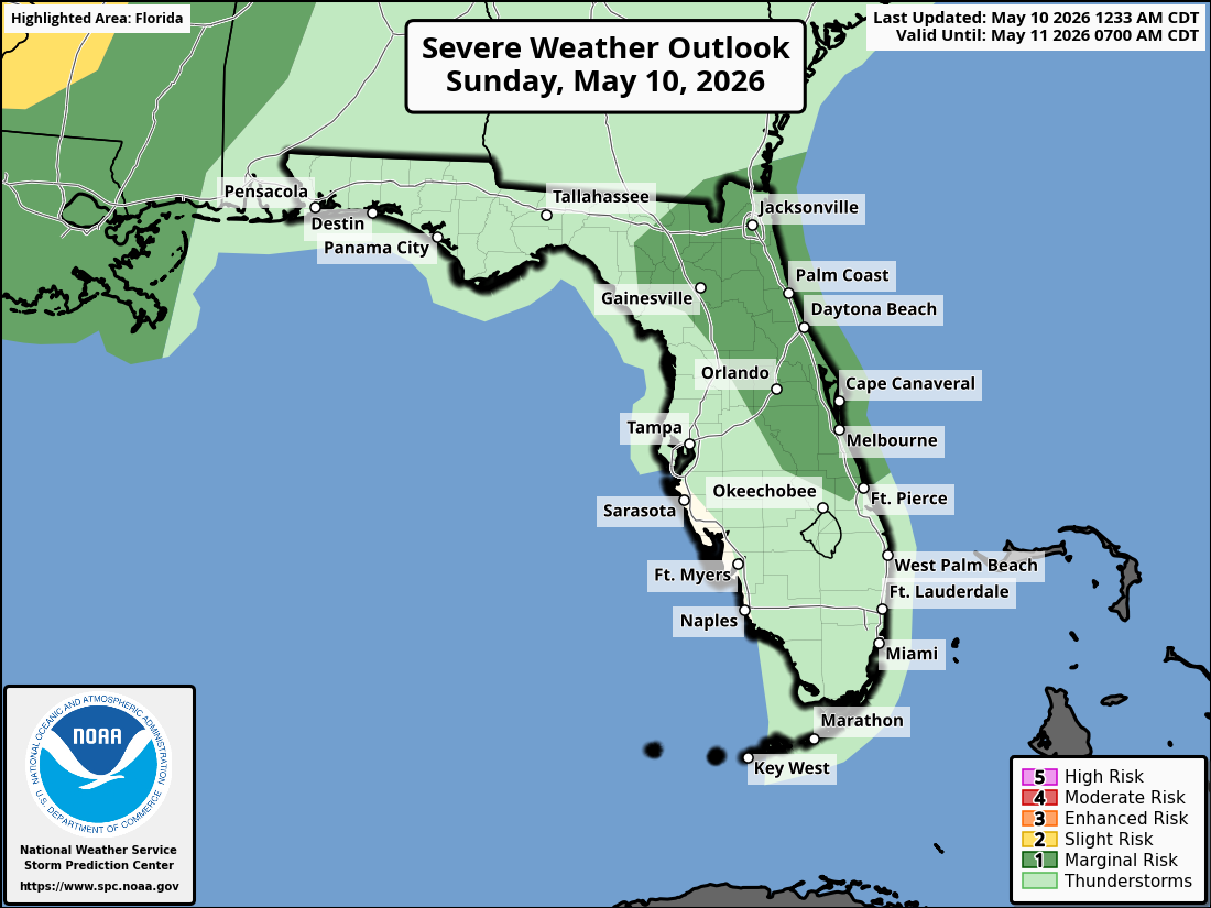
The Storm Prediction Center has noted that the severe thunderstorm risk today has diminished due to lingering rain-cooled air. A Marginal Risk (Level 1 of 5) of severe thunderstorms is in place for Monday across the broader tri-state area (mainly along and north of the I-10 corridor).
Scattered showers and thunderstorms are possible this morning through early evening across the entire Tri-State region. Storms may weaken as they move southeast.
Primary hazards with any stronger storms today include wind gusts near 40 mph, frequent lightning, and torrential downpours. Isolated flash flooding is also possible where storms train over the same areas. Lightning remains a concern with all thunderstorms. A Dense Fog Advisory is in effect early this morning in portions of southeast Alabama, southwest Georgia, and the Florida Panhandle.
On a positive note, beneficial rainfall is expected region-wide and will continue through the weekend into early next week. This will help alleviate ongoing dry conditions across the area.
Cities at risk for thunderstorms today include:
High temperatures across the Florida Panhandle and north Florida will be in the mid 80s °F. Overnight lows will drop into the upper 60s.
TALLAHASSEE WEATHER FORECAST
Copyright 2023-2025 FloridaWord.com


