ORLANDO, Florida – Hot and humid conditions continue across east Central Florida this Wednesday, May 13, 2026.
The National Weather Service in Melbourne forecasts showers and storms again this afternoon, with the highest chances south of Orlando and Cape Canaveral.
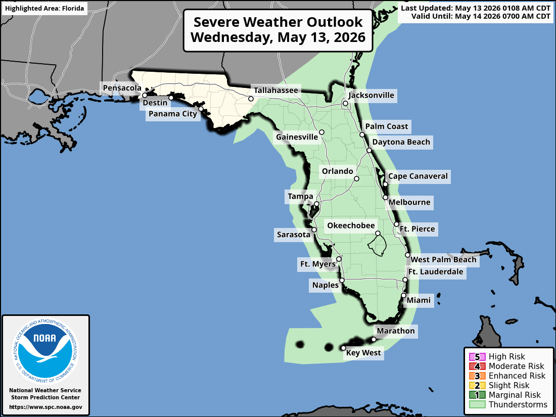
The NWS warns of the following hazards during the peak storm hours this afternoon and evening on Wednesday:
- Frequent lightning strikes
- Gusty winds
- Small hail
- Locally heavy downpours
A HIGH Rip Current Risk is in effect for all Atlantic beaches (2–4 ft surf). Volusia and Space Coasts are under high risk; Treasure Coast is under moderate risk. Swim near lifeguards and never swim against a rip current.
East Central Florida cities forecast to see warm temperatures today include:
- Orlando (high near 85°F, rain chance 60%)
- Daytona Beach (high near 83°F, rain chance 50%)
- Melbourne (high near 87°F, rain chance 70%)
- Vero Beach (high near 88°F, rain chance 70%)

National
Weather Service Melbourne Weather Radar
Orlando Weather Forecast
Today
Showers and thunderstorms likely, mainly this afternoon. Mostly cloudy, with a high near 85. Chance of precipitation is 60%.
Tonight
Showers and thunderstorms likely before midnight, then a slight chance of showers. Partly cloudy, with a low around 71. Chance of precipitation is 60%.
Thursday
A chance of showers before 11am, then showers likely and possibly a thunderstorm after 2pm. Mostly cloudy, with a high near 86. Chance of precipitation is 60%.
Thursday Night
Showers likely and possibly a thunderstorm before 8pm. Partly cloudy, with a low around 70. Chance of precipitation is 60%.
Friday
Sunny, with a high near 89. Northwest wind 5 to 10 mph.
Friday Night
Mostly clear, with a low around 70.