National Weather Service Storm Prediction Center Severe Weather Outlook for Florida on Tuesday, April 8, 2026.
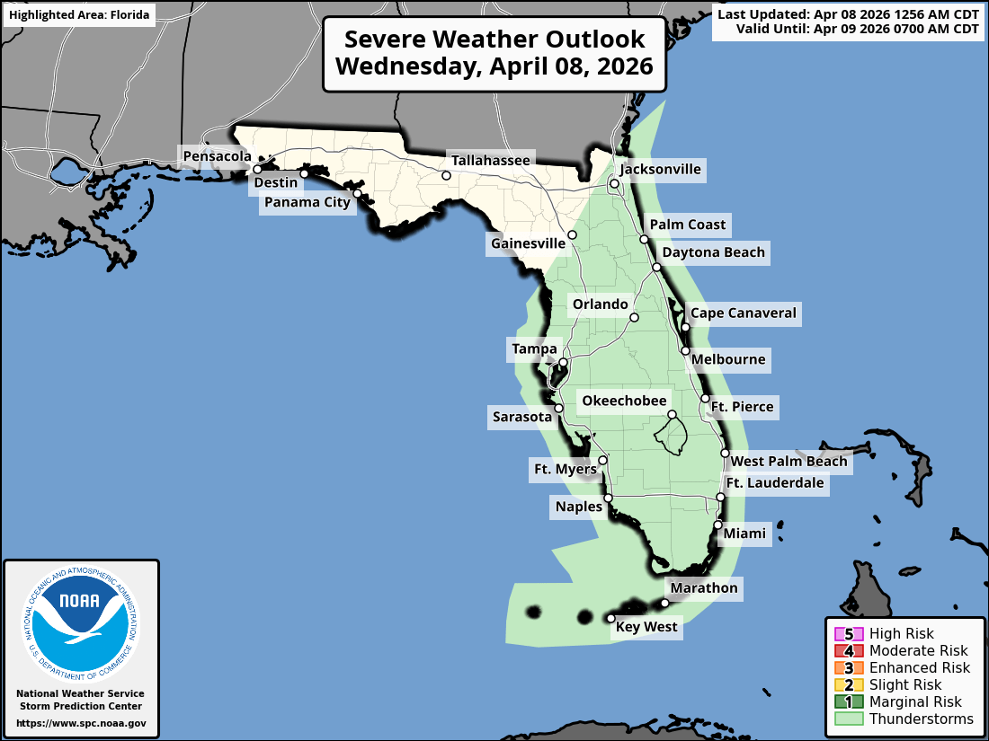
ORLANDO, Florida – The National Weather Service in Melbourne continues to warn of persistent post-frontal conditions across East Central Florida on Wednesday, April 8, 2026, bringing ongoing weather impacts including strong winds, high surf, dangerous rip currents, beach erosion, and a flood threat from additional heavy rain.
Showers and thunderstorms will continue across the Florida Peninsula today, with the potential for locally heavy rainfall especially near the coast. Strong north to northeast winds will persist, especially near the coast, into tonight.
Increased coastal impacts including high surf and minor beach erosion are expected to continue through midweek.
The NWS warns of the following ongoing hazards:
According to the National Weather Service in Melbourne, the strongest impacts are expected today and tonight. Beach-goers are strongly advised to stay out of the ocean due to life-threatening rip currents. High rip current risk continues through the weekend.
East Central Florida cities expecting continued rain chances and windy conditions include:
Today (Wednesday)
Windy with showers and a chance of thunderstorms. High near 74°F. North-northeast winds 15-25 mph, gusting 35-45 mph. Chance of precipitation 60-70%.
Tonight
Chance of showers and thunderstorms continuing, becoming mostly cloudy. Low around 64°F. Winds becoming northwest with gusts possible.
Copyright 2023-2025 FloridaWord.com


