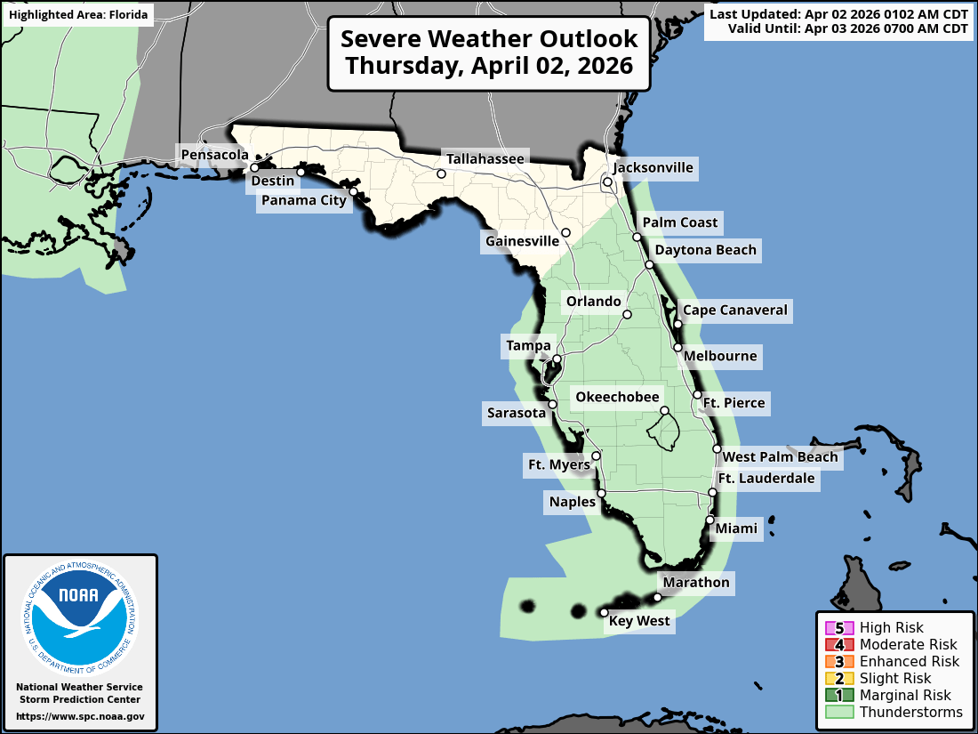
National Weather Service Storm Prediction Center Severe Weather Outlook for Florida April 2, 2026.
MIAMI, Florida – The National Weather Service in Miami reports that strong high pressure over the western Atlantic continues to drive a high risk of rip currents along South Florida‘s Atlantic beaches and increasing marine winds to 20-25 knots on Thursday, April 2, 2026.
The National Weather Service in Miami has issued a Small Craft Advisory for Atlantic waters and Biscayne Bay, creating hazardous boating conditions expected to persist through the end of the week.
NWS Miami Rain Chances, April 2, 2026
Hazardous Marine & Beach Conditions – Atlantic Side (NWS Miami)
Rip currents can quickly pull even experienced swimmers away from shore. Boaters should use extra caution as seas become choppy. Beachgoers are urged to swim only at lifeguarded beaches and heed all warnings.
High temperatures will range from the upper 70s to low 80s along the Atlantic coast to the low 80s inland this afternoon with a chance of showers and thunderstorms.
Mostly sunny, with a chance of showers and thunderstorms mainly after 1pm. High near 80. East wind 10 to 15 mph, with gusts as high as 22 mph. Chance of precipitation is 50%. New rainfall amounts between a tenth and quarter of an inch, except higher amounts possible in thunderstorms.
Thursday Night
Mostly cloudy, with a slight chance of showers and thunderstorms before midnight. Low around 72. East wind around 11 mph, with gusts as high as 21 mph. Chance of precipitation is 20%.
Friday
Mostly sunny. High near 81. East wind 11 to 15 mph, with gusts as high as 22 mph.
Friday Night
Partly cloudy. Low around 72. East wind around 12 mph, with gusts as high as 20 mph.
Saturday
Mostly sunny, with a 20% chance of showers and thunderstorms. High near 81. East wind 10 to 15 mph, with gusts as high as 22 mph.
Saturday Night
Partly cloudy. Low around 72. East wind around 11 mph.