National Weather Service Storm Prediction Center Severe Weather Outlook for Florida April 2, 2026.
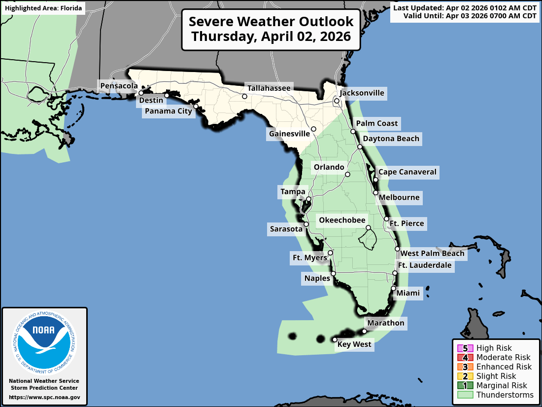
ORLANDO, Florida – The National Weather Service in Melbourne has issued a Hazardous Weather Outlook for East Central Florida on Thursday, April 02, 2026, as the NWS Storm Prediction Center has placed much of the state under a Marginal Risk (1) for severe thunderstorms.
Scattered showers and thunderstorms are anticipated across portions of East Central Florida this afternoon and evening, with a few storms possibly becoming strong and featuring gusty winds and small hail.
Locally heavy rainfall is possible and could lead to minor urban, rural, and small stream flooding in some areas.
The NWS warns of the following hazards:
According to the National Weather Service in Melbourne, higher rain chances are in store today with scattered afternoon storms possible across East Central Florida.
A few of these storms could be strong. High rip current risk persists at all Central Florida Atlantic beaches from the Daytona, Space, and Treasure Coasts. Beachgoers are strongly advised to stay out of the water.
East Central Florida cities at risk for thunderstorms include:
Today (Thursday)
Scattered showers and thunderstorms, especially this afternoon. High near 83°F. Chance of precipitation 40-60%. East winds 10-15 mph with gusts to 20 mph possible in storms.
Tonight
Showers and storms gradually ending, becoming partly cloudy. Low around 65°F.
Copyright 2023-2025 FloridaWord.com

