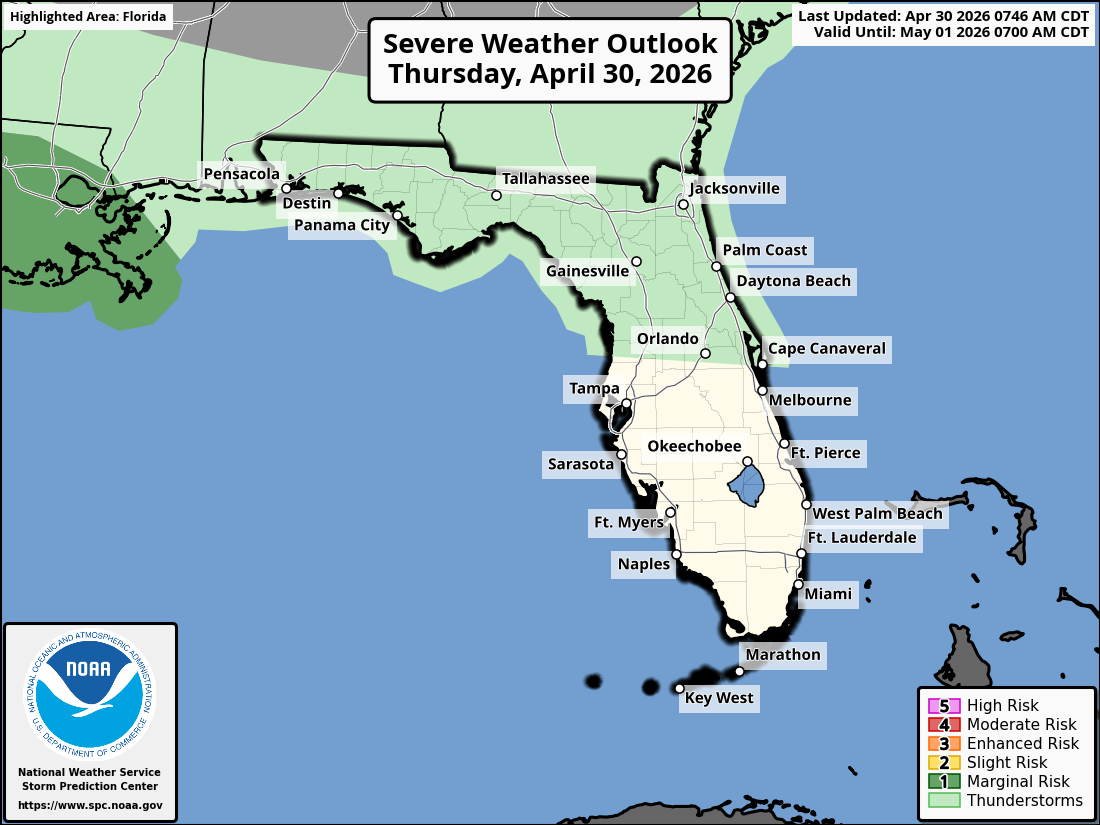
National Weather Service Storm Prediction Center Severe Weather Outlook for Florida on Thursday, April 30, 2026.
JACKSONVILLE, Florida – The National Weather Service in Jacksonville has issued a forecast for isolated strong thunderstorms developing this afternoon and early evening across parts of North Florida and far-southern southeast Georgia near a frontal zone on Thursday, April 30, 2026.
The strongest storm potential is expected between 2 PM and 10 PM EDT.
According to NWS Jacksonville, a few strong storms are expected across northeast Florida and near a frontal zone across southeast Georgia.
On Thursday, main storm hazards include:
Residents are urged to head indoors BEFORE the first rumble of thunder to stay safe from lightning.
Additionally, increased wildfire danger persists due to ongoing exceptional and extreme drought conditions affecting the region. Practice wildfire prevention measures, especially under burn bans or water restrictions.
Widespread beneficial rainfall is expected with these storms and over the coming days, which may help alleviate drought conditions but could lead to brief localized flooding in urban, low-lying, or poorly drained areas.
North Florida and southeast Georgia areas at risk for strong thunderstorms include:
Thursday
Isolated strong thunderstorms possible this afternoon and evening. High near 88°F. Breezy conditions expected with a south wind.
Thursday Night
Chance of showers and thunderstorms. Low in the mid 60s.
The NWS Jacksonville forecast indicates beneficial rainfall with these storms amid ongoing drought conditions, while the primary concerns remain frequent lightning and gusty winds.
Copyright 2023-2025 FloridaWord.com


