National Weather Service Storm Prediction Center Severe Weather Outlook for Florida on Sunday, April 26, 2026.
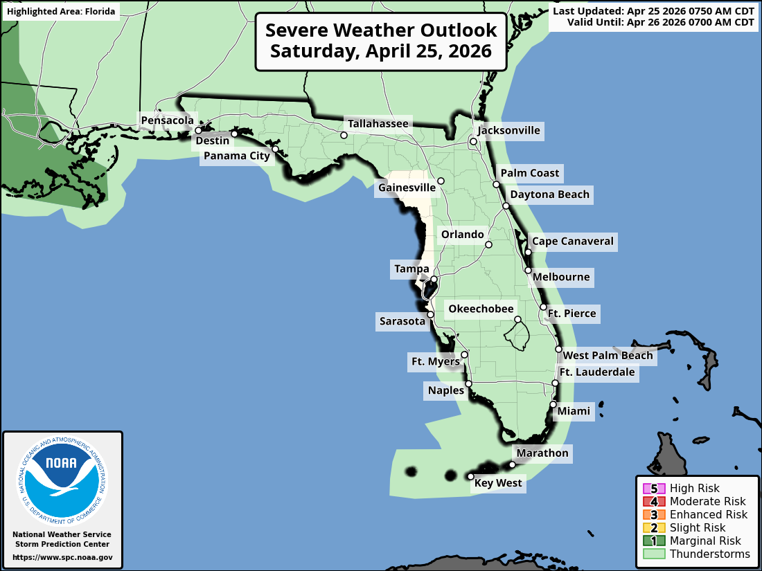
ORLANDO, Florida – The National Weather Service Storm Prediction Center has issued a Severe Weather Outlook for Saturday, April 25, 2026, due to a marginal risk of severe thunderstorms across portions of Florida.
Scattered showers and thunderstorms are anticipated across the Florida Peninsula. Probability of precipitation ranges from 20-30% in East Central Florida, with some storms possibly becoming strong.
Scattered showers and thunderstorms are expected to develop in the afternoon across portions of the Florida Peninsula. A few storms may become strong, especially east of Orlando, and could produce gusty winds.
The NWS warns of the following hazards during the peak storm hours:
According to the National Weather Service in Melbourne, the strongest storms are expected in the afternoon. A moderate risk of rip currents continues at central Florida Atlantic beaches today.
East Central Florida cities forecast to see very warm temperatures and possible afternoon storms include:
Today
Scattered showers and thunderstorms developing this afternoon. High near 87°F. Chance of precipitation 40%. South wind around 10 mph.
Tonight
Chance of evening showers and storms, then partly cloudy. Low around 67°F.
Copyright 2023-2025 FloridaWord.com


