National Weather Service Storm Prediction Center Severe Weather Outlook for Florida on Tuesday, April 29, 2026.
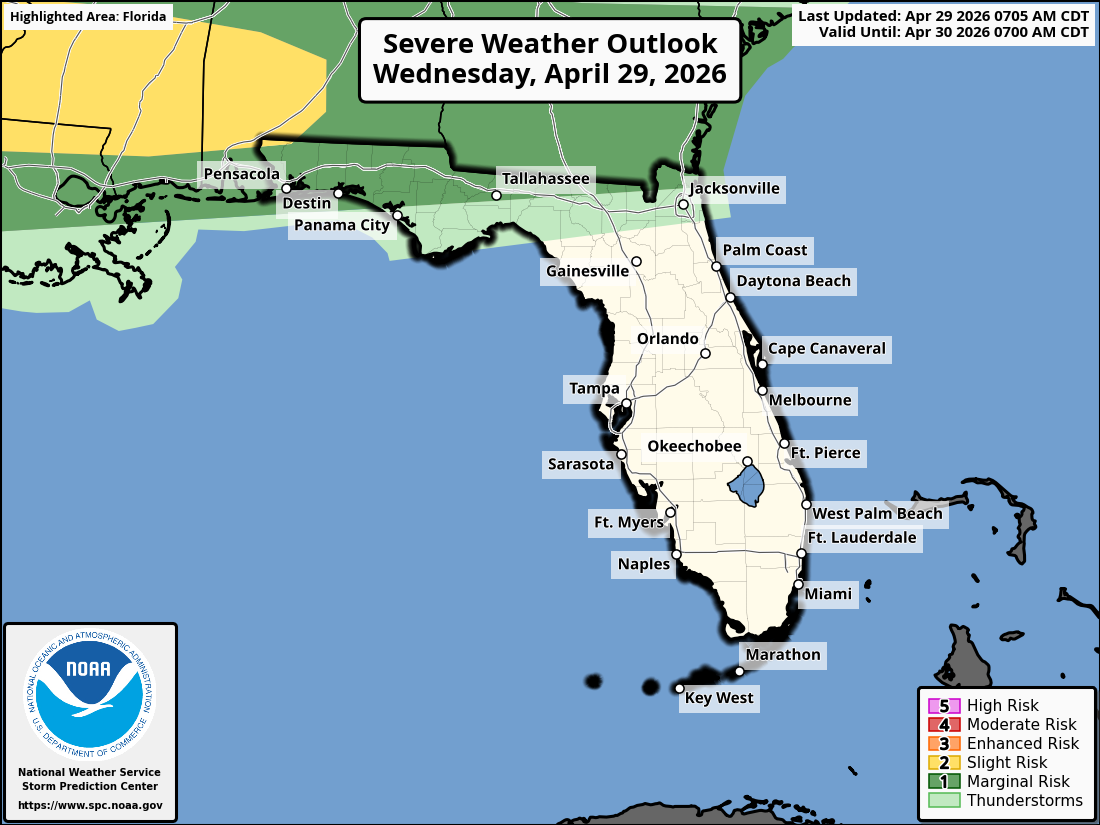
TALLAHASSEE, Florida – The National Weather Service Storm Prediction Center has forecast a Marginal Risk (Level 1 of 5) of strong to severe thunderstorms across parts of southeast Alabama’s Wiregrass region, southwest Georgia, and the Florida Panhandle for this afternoon through Wednesday night, April 29, 2026.
According to the National Weather Service Tallahassee, isolated strong to severe storms are possible late this afternoon into tonight from an approaching cold front. The most at-risk areas include locations along and north of the I-10 corridor in southeast Alabama’s Wiregrass region, southwest Georgia, and the Florida Panhandle (including parts of the Big Bend).
The primary hazards with any stronger storms include isolated damaging wind gusts and hail up to one inch in diameter. A brief tornado is possible but the chance remains low. Lightning is a concern across the region as thunderstorms develop.
On a positive note, widespread beneficial rainfall of 1-3 inches (isolated higher amounts possible) is forecast region-wide from today through Sunday night, with Saturday expected to be the rainiest day. This will help alleviate ongoing dry conditions.
Cities at risk for thunderstorms and possible strong to severe weather include:
High temperatures across the Florida Panhandle and north Florida will be in the upper 80s to low 90s today with lows in the upper 60s overnight.
Copyright 2023-2025 FloridaWord.com


