National Weather Service Storm Prediction Center Severe Weather Outlook for Florida on Saturday, April 04, 2026.
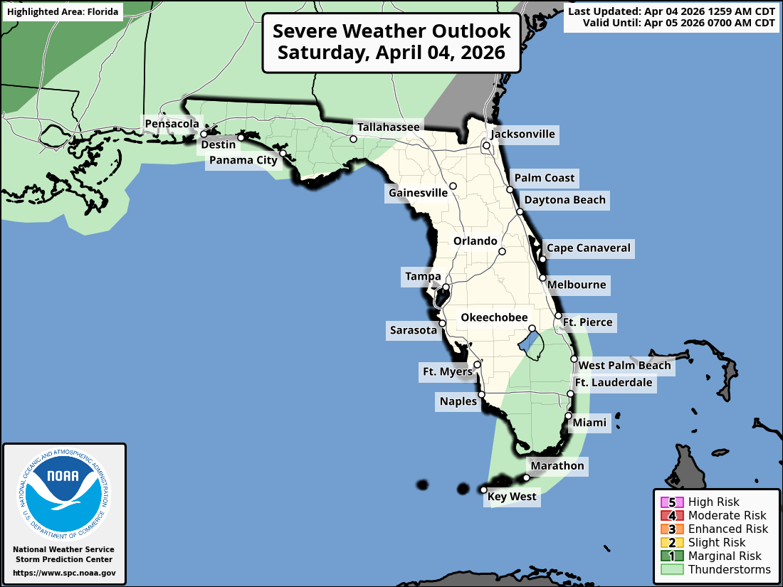
TALLAHASSEE, Florida – The National Weather Service Storm Prediction Center issued a severe weather outlook for Florida on Saturday, April 4, 2026, with a Marginal Risk (Level 1 of 5) of strong to severe thunderstorms across parts of the Florida Panhandle, north Florida, southeast Alabama, and southwest Georgia,.
According to the National Weather Service Tallahassee, showers and thunderstorms are likely this afternoon north of I-10 across north Florida, southeast Alabama, and southwest Georgia. Some storms could become strong with gusty winds and heavy rain.
The primary hazards with any stronger storms include damaging wind gusts and small hail. Lightning is a concern across the region as thunderstorms develop.
A high rip current risk persists through late tonight along Gulf Coast beaches in counties including Walton, Bay, Gulf, and Franklin. Swimmers should stay out of the surf where red flags are flying.
Cities at risk for thunderstorms and possible strong to severe weather include:
High temperatures across the Florida Panhandle and north Florida will be in the upper 70s to low 80s today with lows in the mid 60s overnight.
Following today’s activity, conditions are expected to become more tranquil with milder temperatures persisting into next week.
Copyright 2023-2025 FloridaWord.com

