National Weather Service Storm Prediction Center Severe Weather Outlook for Florida on Saturday, April 25, 2026.
ORLANDO, Florida – The National Weather Service in Melbourne is forecasting increased chances for showers and thunderstorms across East Central Florida on Saturday, April 25, 2026, mainly over the interior of the Florida Peninsula. Daytime highs will run above normal, reaching the upper 80s west of I-95 while sea breezes keep coastal areas in the mid-80s.
Scattered showers and thunderstorms are expected to develop this afternoon and evening, with precipitation probabilities generally in the 20-30% range across the interior according to the latest NWS forecast map. Farther north and west in the state, chances are higher.
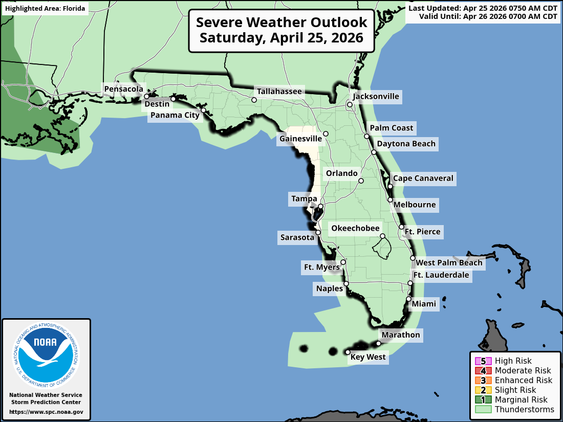
The Storm Prediction Center has placed most of Florida under a Marginal Risk (Level 1 of 5) for severe thunderstorms, meaning isolated strong storms with gusty winds or small hail are possible but not widespread.
The NWS warns of the following ongoing hazards:
According to the National Weather Service in Melbourne, the strongest shower and thunderstorm activity is expected during the afternoon and evening hours. Beach-goers are strongly advised to stay out of the ocean if rip currents are present and to always swim near a lifeguard.
East Central Florida cities expecting a chance of showers and thunderstorms today include:
Today (Saturday)
Partly sunny with a chance of showers and thunderstorms, mainly in the afternoon. High in the upper 80s. Chance of precipitation 20-40% (higher over the interior).
Tonight
Partly cloudy with a chance of showers and thunderstorms, then becoming mostly clear. Low in the mid-60s.
Copyright 2023-2025 FloridaWord.com


