Afternoon Thunderstorms, Rip Currents For South Florida
Published by
FLORIDA WORD
April 4, 2026 8:45 am
Share
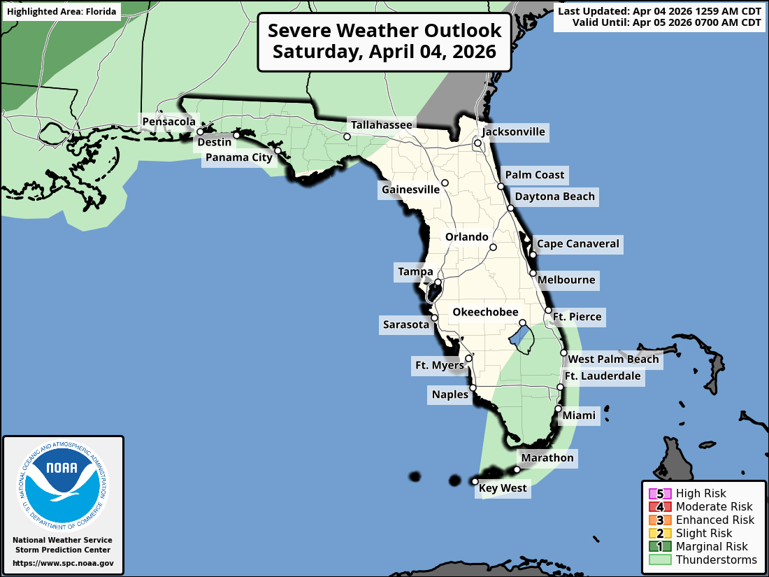
National Weather Service Storm Prediction Center Severe Weather Outlook for Florida on Saturday, April 04, 2026.
MIAMI, Florida – The National Weather Service in Miami reports that gusty easterly winds continue across South Florida on Saturday, April 4, 2026, leading to hotter temperatures for Gulf Coast areas compared to the east coast metro areas. Some widely scattered showers are also expected across the area at times today, but with minimal impacts.
NWS Miami High Temperatures, April 4, 2026
South Florida Rain Chances, April 4, 2026 (NWS Miami)
High risk of rip currents continues along South Florida’s Atlantic beaches due to the persistent gusty easterly winds. Boaters should use extra caution as seas remain choppy in the Atlantic waters and Biscayne Bay. Beachgoers are urged to swim only at lifeguarded beaches and heed all warnings.
High temperatures will range from the upper 70s to low 80s along the Atlantic coast to the mid to upper 80s inland this afternoon with a chance of showers and thunderstorms.
Partly sunny, with a chance of showers and thunderstorms mainly after 2pm. High near 81. East wind 15 to 17 mph, with gusts as high as 23 mph. Chance of precipitation is 30%. New rainfall amounts between a tenth and quarter of an inch, except higher amounts possible in thunderstorms.
Saturday Night
A chance of showers and thunderstorms. Mostly cloudy. Low around 75. Breezy, east wind 15 to 17 mph, with gusts as high as 21 mph. Chance of precipitation is 30%.
Sunday
A chance of showers, with thunderstorms also possible after 2pm. Partly sunny. High near 80. East wind around 14 mph, with gusts as high as 18 mph. Chance of precipitation is 40%.
Sunday Night
A chance of showers and thunderstorms before 8pm, then a slight chance of showers. Partly cloudy. Low around 74. East wind 8 to 11 mph. Chance of precipitation is 30%.