National Weather Service Storm Prediction Center Severe Weather Outlook for Florida March 25, 2026
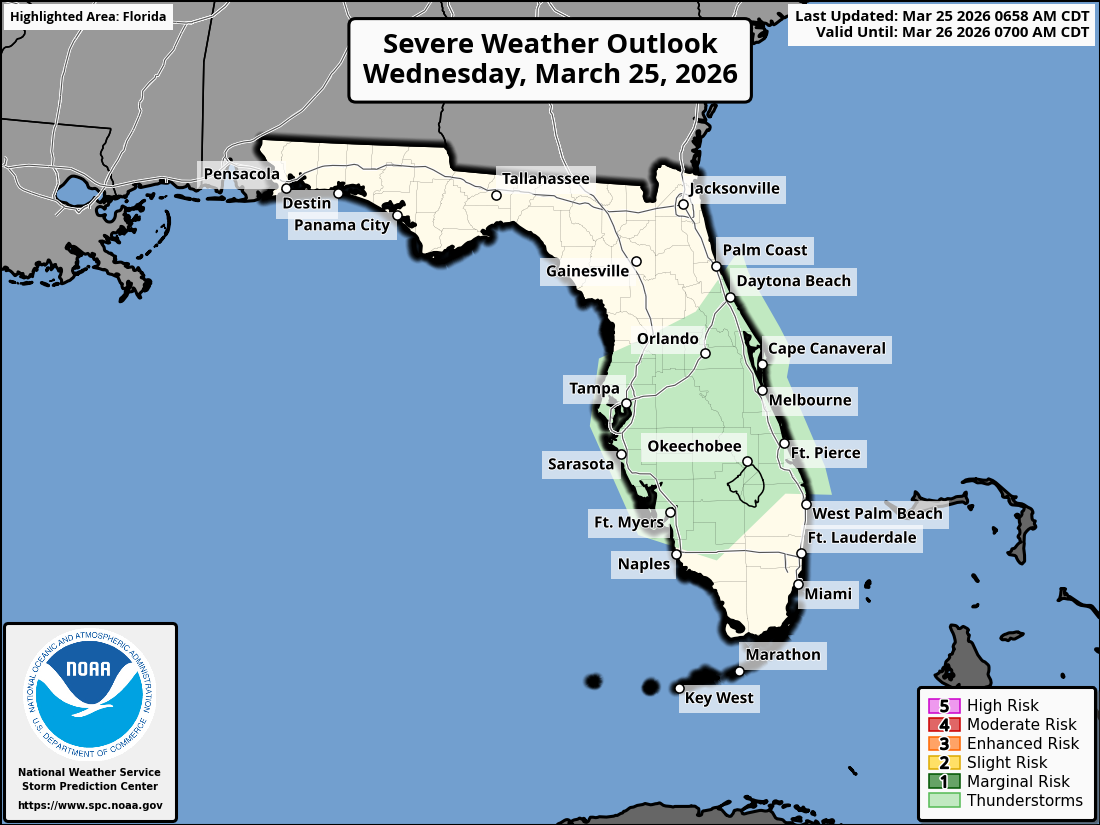
ORLANDO, Florida – The National Weather Service in Melbourne has issued a Hazardous Weather Outlook for East Central Florida on Wednesday, March 25, 2026, due to a stalled weak front across the region.
Scattered showers and isolated thunderstorms are anticipated across portions of East Central Florida, especially along the coast this morning, with additional development farther inland this afternoon and evening.
Locally heavy rainfall is possible and could lead to minor urban, rural, and small stream flooding in some areas.
The NWS warns of the following hazards:
According to the National Weather Service in Melbourne, a weak front remains stalled across East Central Florida. Scattered showers and isolated thunderstorms are forecast this morning (especially along the coast), with additional development farther inland this afternoon and evening. Breezy east-northeast winds of 10-15 mph with gusts to 20 mph are expected. Drier conditions will return for most locations after sunset.
Hazardous marine conditions persist today with a Small Craft Advisory in effect from Flagler Beach to Jupiter Inlet. Seas will build to 5-8 feet near shore and 7-11 feet offshore. Additionally, there is a high risk of rip currents at all Central Florida Atlantic beaches. Beachgoers are strongly advised to stay out of the water.
East Central Florida cities at risk for thunderstorms include:
Today (Wednesday)
Scattered showers and thunderstorms, especially this afternoon. High near 81°F. Chance of precipitation 40%. East-northeast wind 10-15 mph with gusts to 20 mph.
Tonight
Showers and storms gradually ending, becoming partly cloudy. Low around 64°F. Northeast winds.
Copyright 2023-2025 FloridaWord.com


