National Weather Service Storm Prediction Center Severe Weather Outlook for Florida March 25, 2026
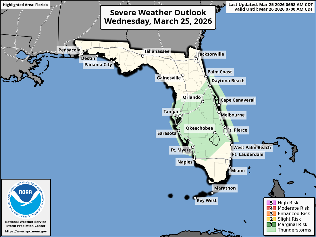
TAMPA BAY, Florida – The National Weather Service Tampa Bay has forecast that storm chances will be slightly higher this afternoon and evening, especially across the interior portion of the state on Wednesday, March 25, 2026.
Isolated showers and thunderstorms are expected across portions of the Florida Peninsula this afternoon and evening due to sea breeze convergence.
Heavy downpours in any stronger storms could lead to localized minor flooding.
The National Weather Service (NWS) Tampa Bay is forecasting slightly higher chances of showers and thunderstorms for Wednesday, March 25, 2026, particularly across the interior of the Florida peninsula.
Rain chances range from around 20% along the coasts to 40-50% in the central interior (highest near Lakeland and Sebring).
High temperatures will reach the low to upper 80s°F under partly sunny skies. No significant severe weather is expected.
Thunderstorms are most likely during the afternoon and early evening hours (generally 1 PM – 8 PM EDT), with timing varying by location..
Copyright 2023-2025 FloridaWord.com


