National Weather Service Storm Prediction Center Severe Weather Outlook for Florida March 7, 2026
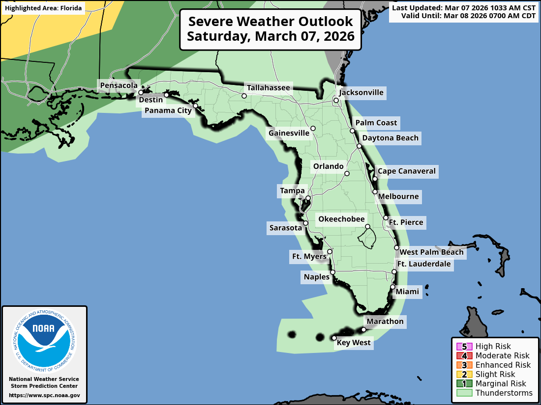
JACKSONVILLE, Florida – The National Weather Service Jacksonville forecast for North Florida and southeast Georgia on Saturday, March 7, 2026, indicates potential for isolated strong storms.
Widely scattered showers and storms are expected to develop at inland locations late this afternoon and evening, with potential for a few stronger storms to develop (5-10pm) mainly along the I-75 and US 301 corridors in northeast and north central Florida and the Okefenokee Swamp in southeast Georgia. Low thunderstorm chances may continue through the night into Sunday.
According to NWS Jacksonville, isolated strong storms may develop, with primary impacts across inland northeast Florida, north central Florida, and southeast Georgia.
Stronger storms may produce:
Lightning Safety Tip: Lightning strikes the U.S. 25 million times a year, sometimes resulting in death or permanent injury. You are safest indoors or inside a hard-topped and enclosed vehicle. If you hear thunder or see lightning, take shelter immediately! When Thunder Roars, Go Indoors!
Additionally, ongoing extreme drought conditions combined with gusty winds may lead to elevated wildfire danger today and in upcoming days. No Red Flag Warning is currently in effect, but practice wildfire prevention measures such as avoiding open flames and properly discarding cigarettes.
Isolated showers and thunderstorms may provide some relief amid ongoing extreme drought conditions, with locally higher amounts in stronger storms.
Areas at risk for stronger storms include:
Saturday Afternoon
Mostly sunny, with a high near 84°F. East winds 8 to 13 mph, with gusts as high as 18 mph. Slight chance of showers and thunderstorms between 4pm and 10pm (20%). New rainfall amounts generally low, higher in thunderstorms.
Saturday Night
Partly cloudy, with a low around 64°F. Patchy fog after 1am. Southeast winds 5 to 8 mph becoming calm after midnight.
Sunday
Patchy fog before 8am. Otherwise, mostly sunny, with a high near 84°F. Light southeast wind increasing to 6 to 11 mph in the morning.
Sunday Night
Areas of fog after 1am. Otherwise, mostly clear, with a low around 64°F. South winds 3 to 7 mph.
The NWS Jacksonville forecast indicates some moisture from isolated showers amid ongoing extreme drought conditions, while the primary concerns remain damaging winds and lightning from any stronger storms and elevated fire danger.
Copyright 2023-2025 FloridaWord.com


