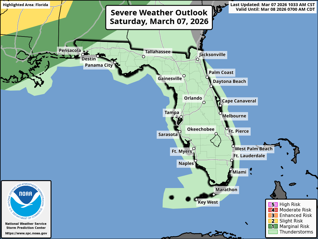
National Weather Service Storm Prediction Center Severe Weather Outlook for Florida March 8, 2026
JACKSONVILLE, Florida – The National Weather Service in Jacksonville has issued a weather alert for Northeast Florida and southeast Georgia on Sunday, March 8, 2026, due to the potential for isolated strong thunderstorms.
Thunderstorm activity is expected to develop in scattered areas as the Gulf and Atlantic sea breezes merge along the I-95 and US-17 corridors ahead of a stalling cold front.
According to NWS Jacksonville, isolated strong thunderstorms may develop, with the primary impacts over the eastern portions of northeast Florida and southeast Georgia.
Stronger storms may produce:
A chance of showers is expected tonight, with rainfall amounts generally light, though locally higher in any stronger storms.
Areas at risk for thunderstorms include:
Sunday Afternoon
A slight chance of showers between 2pm and 3pm, then a chance of showers and thunderstorms after 3pm. Mostly sunny, with a high near 88°F. Light south wind becoming southwest 5 to 10 mph in the afternoon. Chance of precipitation is 30%.
Sunday Night
Showers and possibly a thunderstorm before 2am, then a chance of showers. Patchy fog after 3am. Otherwise, mostly cloudy, with a low around 61°F. Southwest wind 5 to 8 mph becoming calm after midnight. Chance of precipitation is 80%. New rainfall amounts between a tenth and quarter of an inch, except higher amounts possible in thunderstorms.
Monday
Patchy fog before 9am. Otherwise, mostly sunny, with a high near 79°F. Light northwest wind becoming north 5 to 10 mph in the morning.
Monday Night
Partly cloudy, with a low around 52°F. Northeast wind 5 to 9 mph becoming calm after midnight.
Copyright 2023-2025 FloridaWord.com


