National Weather Service Storm Prediction Center Severe Weather Outlook for Florida March 24, 2026
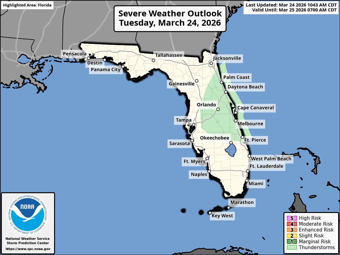
ORLANDO, Florida – The National Weather Service Storm Prediction Center has issued a Severe Weather Outlook for East Central Florida on Tuesday, March 24, 2026, due to a marginal risk of severe thunderstorms.
Scattered showers and thunderstorms are anticipated across portions of the Florida Peninsula, influenced by a cold front producing showers and storms. Some storms may become strong.
Heavy rainfall could lead to localized flash flooding in some areas.
The NWS warns of the following hazards during the peak storm hours:
According to the National Weather Service in Melbourne, the strongest storms are expected in the afternoon and evening. A cold front will cross the area tonight, bringing gusty northwest winds.
Additionally, there is a high risk of rip currents at northern central Florida Atlantic beaches today.
East Central Florida cities at risk for severe thunderstorms include:
Today
Scattered showers and thunderstorms developing this afternoon. High near 77°F. Chance of precipitation 50-60%. South wind around 10-15 mph.
Tonight
Showers and storms ending, becoming mostly cloudy. Low around 60°F. Gusty northwest winds.
Copyright 2023-2025 FloridaWord.com


