National Weather Service Storm Prediction Center Severe Weather Outlook for Florida December 18, 2025
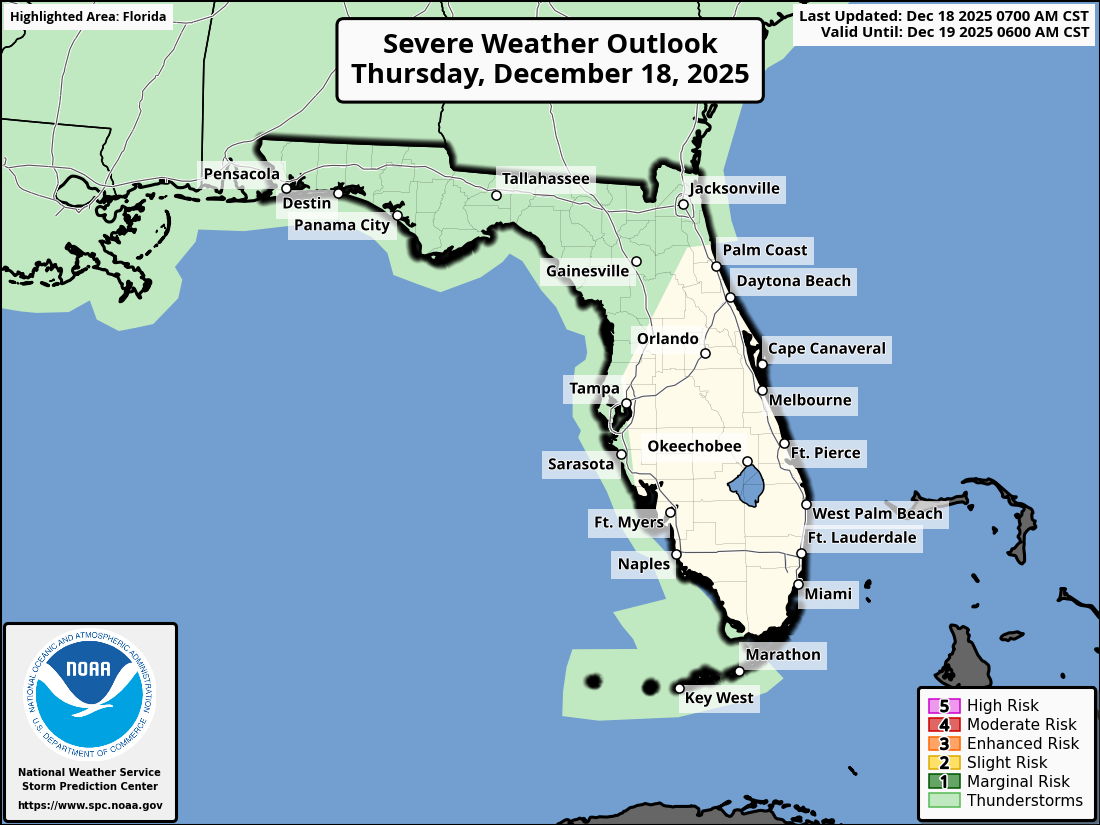
TALLAHASSEE, Florida – The National Weather Service Storm Prediction Center has provided an updated outlook for Southeast Alabama, Southwest Georgia, and the Florida Panhandle, forecasting beneficial rainfall today, Thursday, December 18, 2025, ahead of a cold front arriving early Friday.
According to the National Weather Service Tallahassee, a system bringing high rain chances and a few isolated thunderstorms will move across the region today into tonight, with the heaviest impacts expected in the eastern Florida Panhandle and western Big Bend coast.
Expected rainfall amounts range from 0.25 to 1 inch across North Florida, southeast Alabama, and southwest Georgia, with 2-3 inch totals possible near coastal areas. The primary benefit will be relief from ongoing exceptional drought conditions, though no significant flooding is anticipated.
The greatest rainfall accumulation is expected across the Florida Panhandle. Cities likely to see higher amounts include:
This rain and cloud coverage will provide some much-needed relief to the Florida Panhandle, currently under D4 exceptional drought—the worst in over a decade—though it will not be sufficient to end the ongoing water shortage crisis, according to recent NWS drought assessments.
High temperatures across the Florida Panhandle today will be in the low 70s°F, with lows dropping to the upper 50s°F overnight as the cold front moves in.
Copyright 2023-2025 FloridaWord.com


