National Weather Service Storm Prediction Center Severe Weather Outlook for Florida December 18, 2025
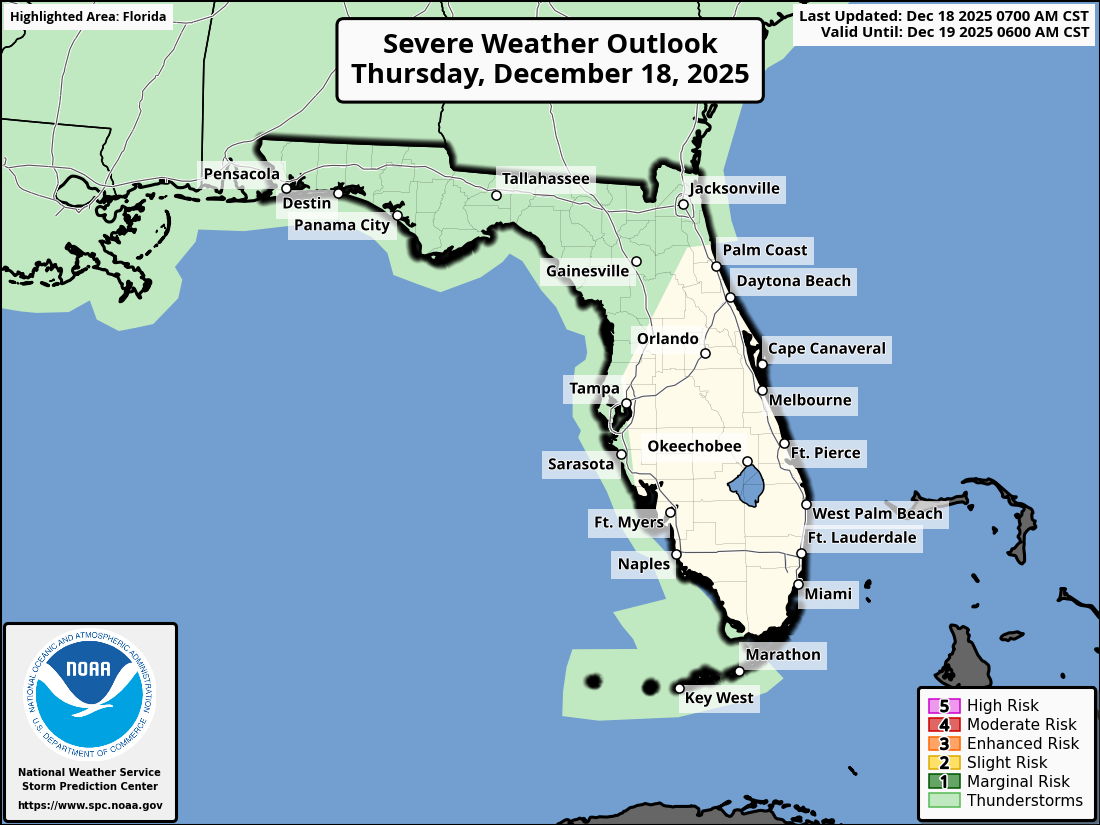
JACKSONVILLE, Florida – The National Weather Service Storm Prediction Center has issued a weather alert for North Florida and southeast Georgia on Thursday, December 18, 2025, due to ongoing showers and a marginal risk of thunderstorms this afternoon and evening.
Showers are overspreading inland southeast Georgia and the Suwannee Valley this morning, with activity expected to progress eastward toward coastal southeast Georgia and the I-10 corridor by this evening.
According to NWS Jacksonville, isolated thunderstorms and briefly heavy downpours will be possible this afternoon and evening across the region.
Stronger storms may produce:
North Florida and southeast Georgia areas at risk for showers and thunderstorms include:
Today
Showers with a chance of isolated thunderstorms. High near 65°F. Chance of precipitation is high. Hazards include lightning, heavy downpours, and travel disruptions, especially this afternoon and evening.
Tonight
Showers likely, possibly tapering off late. Low around 55°F. Patchy fog may develop overnight.
The forecast indicates a needed rainfall of 0.25-0.5 inches through Friday morning, with higher amounts (1-1.5 inches) possible in southeast Georgia and the Suwannee Valley. Residents are advised to monitor updates and prepare for potential travel hazards.
Copyright 2023-2025 FloridaWord.com


