National Weather Service Storm Prediction Center Severe Weather Outlook for Florida Sunday, July 14, 2025.
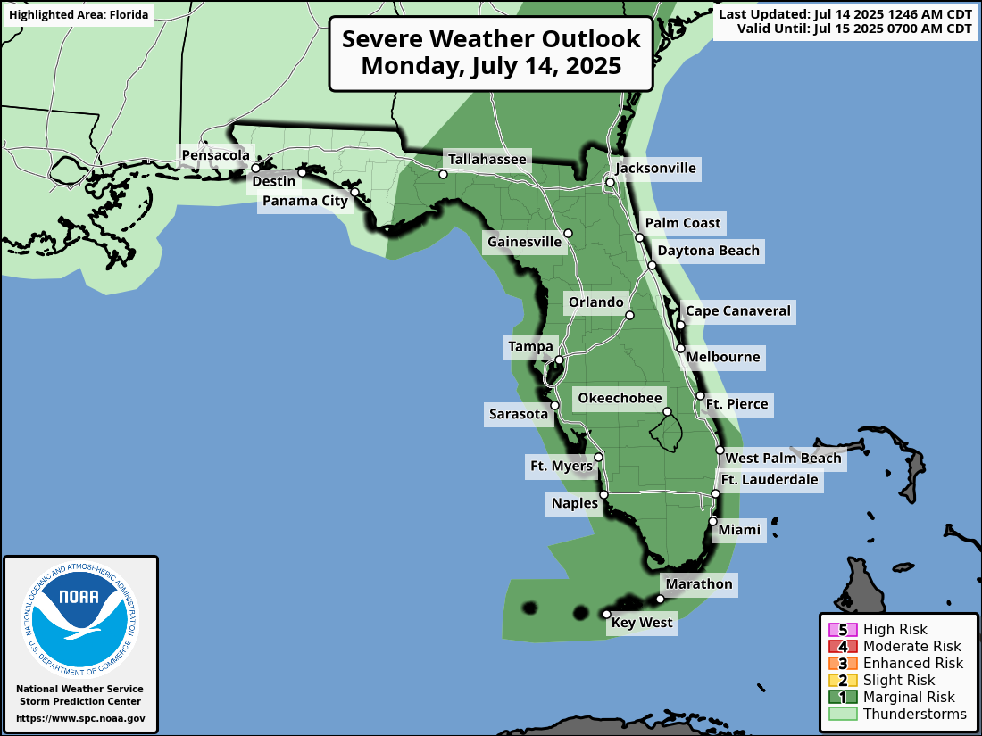
JACKSONVILLE, Florida – The National Weather Service Storm Prediction Center has issued a severe weather outlook for North Florida on Monday, July 14, 2025, due to a marginal risk of severe weather this afternoon and early evening.
Scattered afternoon thunderstorms are expected to be most prominent across the eastern half of the Peninsula due to the presence of an area of low pressure offshore the east coast of Florida.
According to NWS Jacksonville, strong to isolated severe thunderstorms will be possible this afternoon and evening, over southeast Georgia and northeast Florida, mainly inland areas.
Stronger storms will be capable of producing:
North Florida cities at risk for severe thunderstorms include:
Today
Showers and thunderstorms are likely, mainly between 2pm and 3pm. Mostly sunny, with a high near 93°F. Heat index values as high as 105°F. West wind 6 to 13 mph becoming northeast in the afternoon. Winds could gust as high as 20 mph. Chance of precipitation is 60%. New rainfall amounts between a tenth and quarter of an inch, except higher amounts possible in thunderstorms.
Tonight
A 30 percent chance of showers and thunderstorms, mainly before 9pm. Partly cloudy, with a low around 76°F. East wind 5 to 8 mph becoming light and variable in the evening.
Copyright 2023-2025 FloridaWord.com


