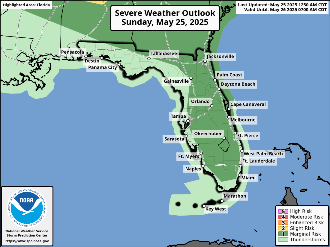
OCALA, Florida – The National Weather Service Storm Prediction Center has issued a severe weather outlook for North Florida, due to the risk of thunderstorms for North Florida on Sunday, May 25, 2025. Afternoon and Evening Storm Risks According to NWS Jacksonville, isolated strong thunderstorms are possible during the afternoon and evening on Sunday for the following cities in Northeast Florida: Ocala Gainesville Live Oak Jacksonville Jacksonville Beach St. Augustine Palatka Palm Coast Stronger storms will be capable of producing: Damaging winds 40 to 60 mph Small Hail Lightning strikes, which may be fatal to people and pets who remain outside. [caption id="attachment_7742" align="aligncenter" width="1920"] National Weather Service Jacksonville Severe Weather Forecast for North Florida Sunday May 25, 2025.[/caption] The rain and cloud coverage will bring some brief relief to North Florida from the excessive heat this past week. [caption id="" align="aligncenter" width="600"] National Weather Service Jacksonville Weather Radar for North Florida[/caption] [caption id="attachment_7739" align="aligncenter" width="965"] National Weather Service forecast map showing the warmest heat index across Florida on Sunday, May 25, 2025.[/caption] Jacksonville Weather Forecast Sunday A 30 percent chance of showers and thunderstorms after 2pm. Mostly sunny, with a high near 94. Light south wind increasing to 5 to 9 mph in the morning. Sunday Night A chance of showers and thunderstorms before 11pm, then a slight chance of showers between 11pm and 2am. Partly cloudy, with a low around 74. Southeast wind 6 to 10 mph, with gusts as high as 16 mph. Chance of precipitation is 30%. Memorial Day A 40 percent chance of showers and thunderstorms after 2pm. Sunny, with a high near 94. Southwest wind 6 to 8 mph. Monday Night A 30 percent chance of showers and thunderstorms, mainly before 8pm. Partly cloudy, with a low around 74.