National Weather Service Storm Prediction Center Severe Weather Forecast for Florida Monday, May 12, 2025.
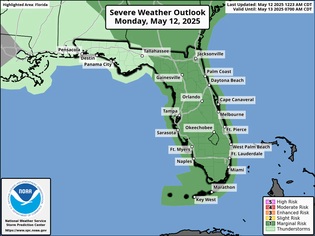
TAMPA BAY, FL – The National Weather Service (NWS) Tampa Bay has issued a severe weather outlook for Monday, May 12, 2025, warning of a Level 1 out of 5 risk for severe storms across west central and most of southwest Florida.
The National Weather Service Storm Prediction Center has issued a Severe Weather Outlook for Tampa Bay and Southwest Florida on May 12, 2025.
The potential hazards include gusty or damaging winds, flooding rain, and lightning throughout the day.
The forecast covers areas such as Tampa, St. Petersburg, Sarasota, and Fort Myers.
This forecast comes amid an ongoing atmospheric river event that has already brought heavy rainfall to the region since May 10, with 1-4 inches expected through May 12, and some areas potentially seeing over 5 inches.
Copyright 2023-2025 FloridaWord.com


