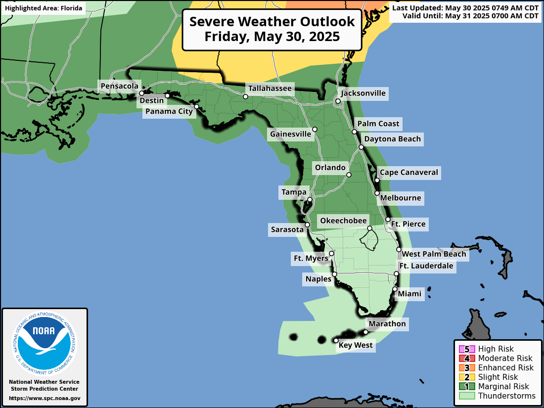
According to NWS Jacksonville, a line of strong to severe thunderstorms moving southward from southeast Georgia into northeast Florida. The storms are expected to reach northeast Florida after midnight, posing risks from 5 p.m. to 4 a.m.
Stronger storms will be capable of producing:
Damaging winds (40-60 mph), capable of impacting structures and trees.
Isolated brief tornadoes cannot be ruled out.
Heavy downpours, which may lead to localized flooding in areas already saturated from recent rainfall.
Localized flooding from heavy downpours.
Hail is possible with stronger storms.
Frequent lightning strikes, which may be fatal to people and pets who remain outside.
Residents should ensure they have multiple ways to receive weather warnings, especially overnight.
National Weather Service Jacksonville Weather Radar for North Florida
Jacksonville Weather Forecast
Friday Afternoon (May 30): Mostly sunny, high near 92°F, with a 30% chance of showers and thunderstorms after 4 p.m. West winds around 15 mph, gusts up to 23 mph.
Friday Night: Showers and thunderstorms likely between midnight and 2 a.m., with heavy rainfall possible. Cloudy, low around 71°F, southwest winds 10 to 13 mph, gusts up to 20 mph. Precipitation chance is 60%, with rainfall amounts of 0.1 to 0.25 inches, higher in thunderstorms.
Saturday (May 31): Cloudy through mid-morning, then clearing, high near 89°F. West winds 9 to 13 mph, gusts up to 20 mph.
Saturday Night: Mostly clear, low around 68°F, west winds 6 to 9 mph.
Sunday (June 1): Sunny, high near 91°F, west winds 6 to 9 mph.