National Weather Service Storm Prediction Center Severe Weather Forecast for Florida Tuesday, May 13, 2025.
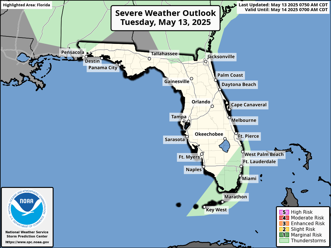
Jacksonville, FL – The National Weather Service’s Storm Prediction Center has issued a severe weather outlook for North Florida, warning of potential severe thunderstorms across northeast Florida on Tuesday, May 13, 2025.
The National Weather Service in Jacksonville forecasts isolated strong to severe thunderstorms across North Florida, particularly along and north of the I-10 corridor, from 12 PM to 7 PM on Tuesday, May 13, 2025. Affected areas include:
Expected hazards include wind gusts of 30–50 mph and isolated heavy downpours. Additionally, a Moderate Risk for rip currents is in effect along northeast Florida beaches.
After Tuesday’s storms, North Florida will transition to a drier and hotter pattern through the weekend. Here’s the detailed forecast for Jacksonville:
Copyright 2023-2025 FloridaWord.com


