National Weather Service Storm Prediction Center Severe Weather Forecast for Florida Saturday May 10, 2025.
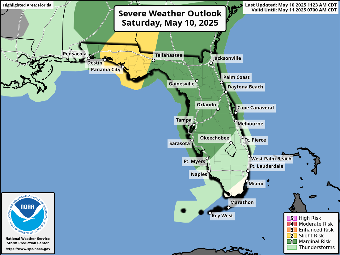
JACKSONVILLE, Florida – The National Weather Service Storm Prediction Center has issued a severe weather outlook for North Florida, due to the risk of severe thunderstorms across northeast Florida on Saturday, May 10, 2025. The forecast warns of potentially hazardous conditions continuing through the weekend.
According to NWS Jacksonville, strong to isolated severe thunderstorms are possible each afternoon and evening from Saturday through Monday.
Storm coverage on Saturday afternoon and evening should be greater along the Interstate 95 corridor in northeast Florida.
Stronger storms will be capable of producing:
According to the National Weather Service in Jacksonville, a stalled front across North Florida will trigger waves of heavy rainfall through at least Monday, May 12, 2025.
With 4 to 8 inches of rain forecast across much of Southeast Georgia and Northeast Florida through early next week, and localized amounts up to 10 inches possible, the risk of flooding is significant. The NWS has noted a Marginal Risk (Level 1/4) of excessive rainfall through Saturday, increasing to a Slight Risk (Level 2/4) on Sunday and Monday, particularly in areas like Jacksonville. Residents should avoid driving through flooded areas and prepare for potential impacts of an atmospheric river.
Copyright 2023-2025 FloridaWord.com


