National Weather Service Storm Prediction Center Severe Weather Forecast for Florida Sunday, May 11, 2025.
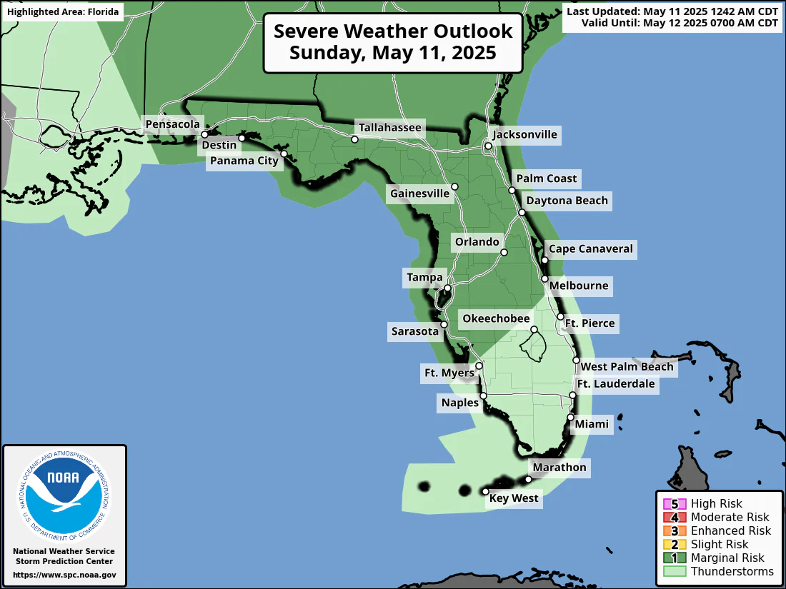
JACKSONVILLE, Florida – The National Weather Service Storm Prediction Center has issued a severe weather outlook for North Florida, due to the risk of severe thunderstorms across northeast Florida on Sunday, May 11, 2025. The forecast warns of potentially hazardous conditions continuing through Monday.
According to NWS Jacksonville, strong to isolated severe thunderstorms are possible each afternoon and evening from Sunday through Monday.
Storm coverage on Sunday afternoon and evening should be greater along the Interstate 95 corridor in northeast Florida.
Stronger storms will be capable of producing:
According to the National Weather Service in Jacksonville, a stalled front across North Florida will trigger waves of heavy rainfall through at least Monday, May 12, 2025.
As waves of heavy downpours continue, the forecast area is under a slight risk for excessive rainfall. Expect additional rainfall amounts of 1 to 4 inches through Monday amid an ongoing atmospheric river event that has already brought heavy rainfall to the region.
Residents should avoid driving through flooded areas.
Copyright 2023-2025 FloridaWord.com


