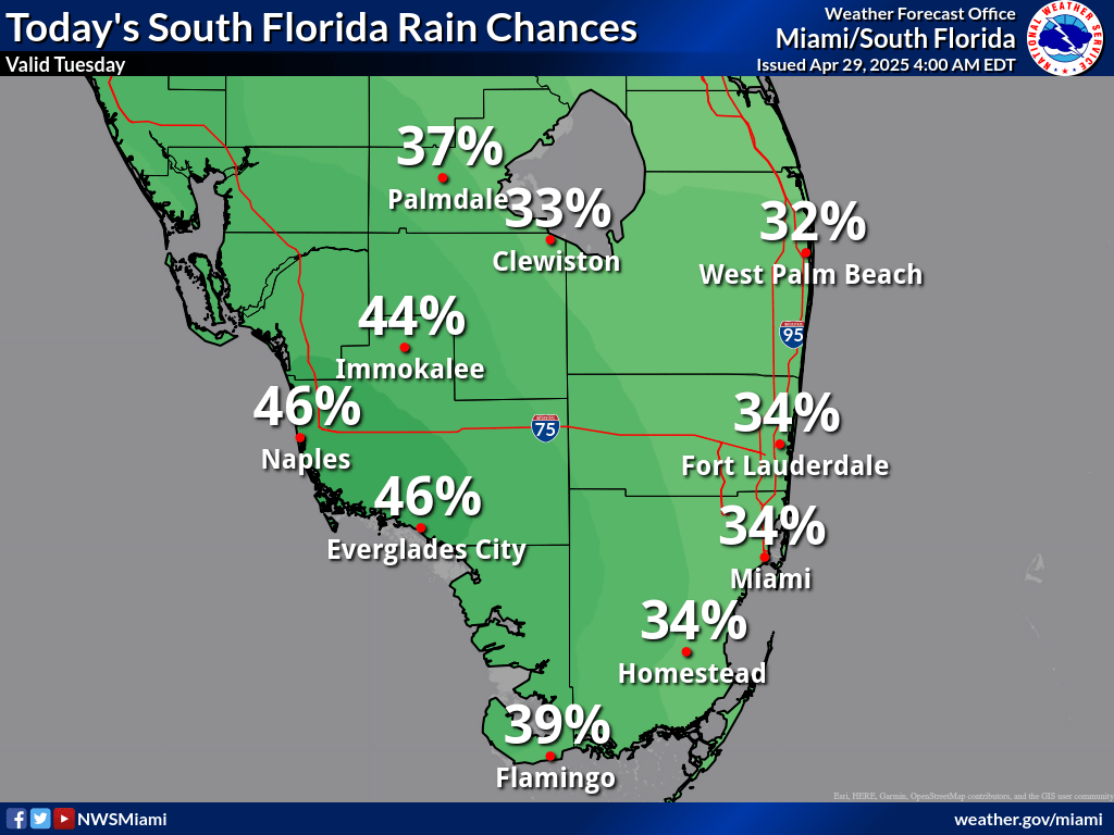
MIAMI, Florida – A weak frontal boundary will move across South Florida on Tuesday, April 29, 2025, bringing showers to the region, according to the National Weather Service in Miami.
The east coast, including Miami and Fort Lauderdale, will experience showers starting before daybreak and continuing into the early afternoon.
The Gulf coast, including areas like Naples and Fort Myers, will see showers in the afternoon, with the possibility of isolated thunderstorms.
A High Rip Current Risk remains in effect for Miami-Dade County, Palm Beach County, and Broward County through Thursday evening.
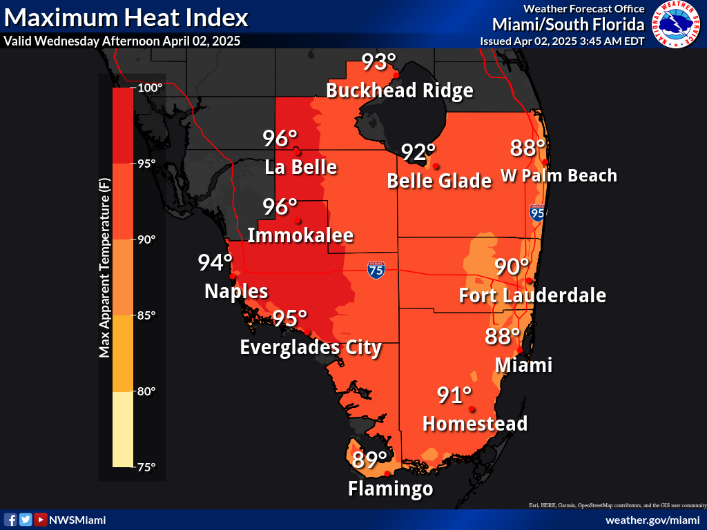
Heat indices will rise into the mid 80s along the east coast and low 90s on the west coast.
Today
A 30 percent chance of showers and thunderstorms, mainly between 9am and 3pm. Partly sunny, with a high near 81. East wind 13 to 15 mph, with gusts as high as 20 mph.
Tonight
Partly cloudy, with a low around 74. Breezy, with a northeast wind around 16 mph, with gusts as high as 20 mph.
Wednesday
Mostly sunny, with a high near 79. East wind around 15 mph, with gusts as high as 20 mph.
Wednesday Night
Partly cloudy, with a low around 74. East wind around 15 mph, with gusts as high as 18 mph.
Thursday
Mostly sunny, with a high near 80. East wind around 14 mph, with gusts as high as 18 mph.
Thursday Night
Partly cloudy, with a low around 74. East wind 11 to 14 mph.
Friday
Partly sunny, with a high near 80. East wind around 10 mph.
Friday Night
Partly cloudy, with a low around 75. East wind 8 to 11 mph.
Saturday
A 30 percent chance of showers after 2pm. Mostly sunny, with a high near 81. Southeast wind 6 to 9 mph.
Saturday Night
A 30 percent chance of showers and thunderstorms, mainly before 8pm. Partly cloudy, with a low around 74.
Sunday
A 40 percent chance of showers and thunderstorms. Mostly sunny, with a high near 82.
Sunday Night
A 30 percent chance of showers and thunderstorms. Partly cloudy, with a low around 73.
Copyright 2023-2025 FloridaWord.com