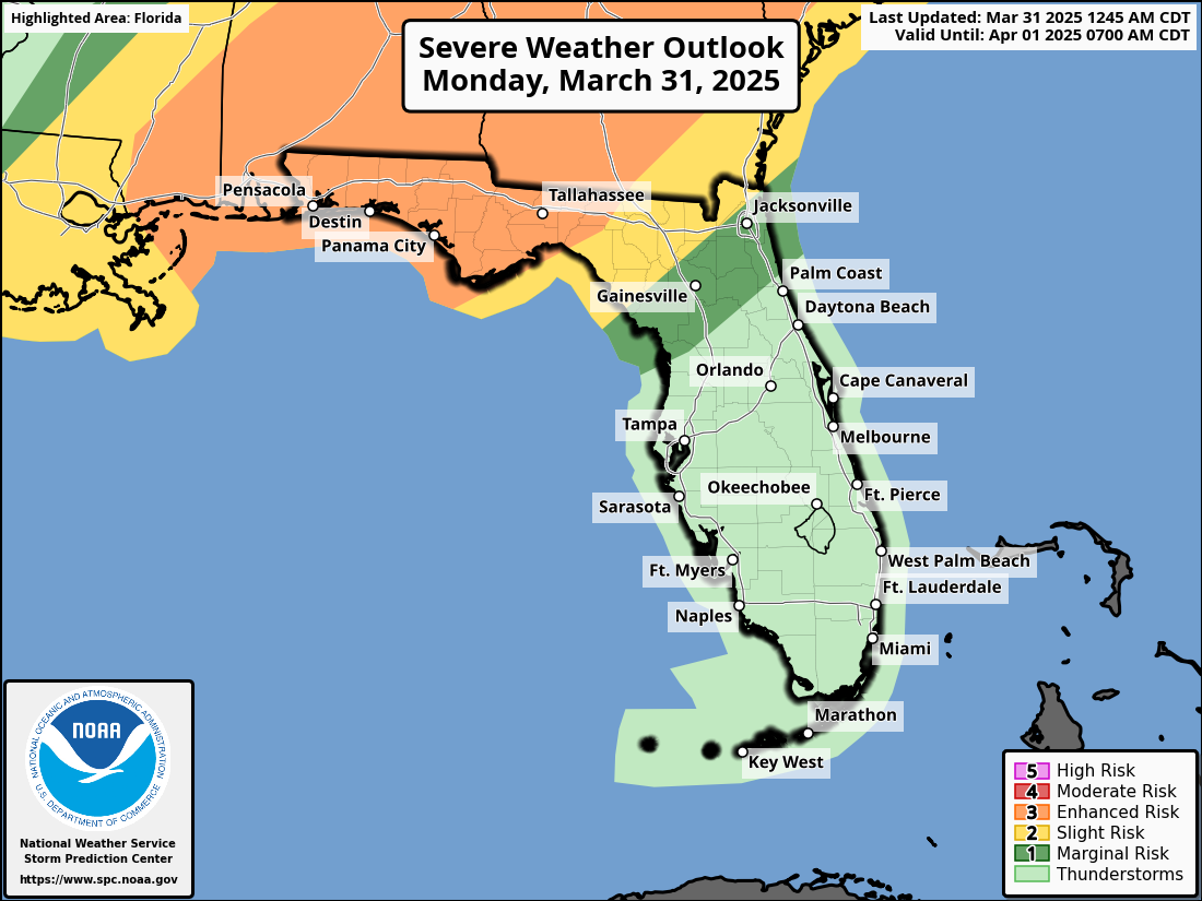
TALLAHASSEE, Florida – Numerous thunderstorms are possible, and there is a Enhanced Risk (Level 3 of 5) of severe thunderstorms, across the Florida Panhandle and Big Bend area on Monday, March 31, 2025, according to the National Weather Service Storm Prediction Center.
According to the National Weather Service Tallahassee, the strongest severe weather will develop along and north of the I-10 corridor from late Monday morning through the evening. The main threats are damaging wind gusts, large hail, and a few tornadoes.
The strongest storms are forecast to reach Pensacola and the western Panhandle between 10 a.m. to 2 p.m. CDT, the eastern Panhandle from Panama City to Tallahassee between 2 p.m. to 5 p.m. CDT, and Florida’s Big Bend between 5 p.m. and 8 p.m. CDT.
Storms that produce hailstones the size of quarters or larger can result in dents on cars, damage to roofs, break windows, and can be deadly to animals and people.
Large hailstones can fall at speeds faster than 100 mph.
Copyright 2023-2025 FloridaWord.com


